

SCOFrance
PartnersUniversité de Rouen, Cerema, CNES
Useful linksPublication
KeywordsAfrica, Senegal, estuary, intertidal zone, SWOT, hydrodynamic modeling, publication
ALISE validates SWOT for microtidal hydrodynamic modeling
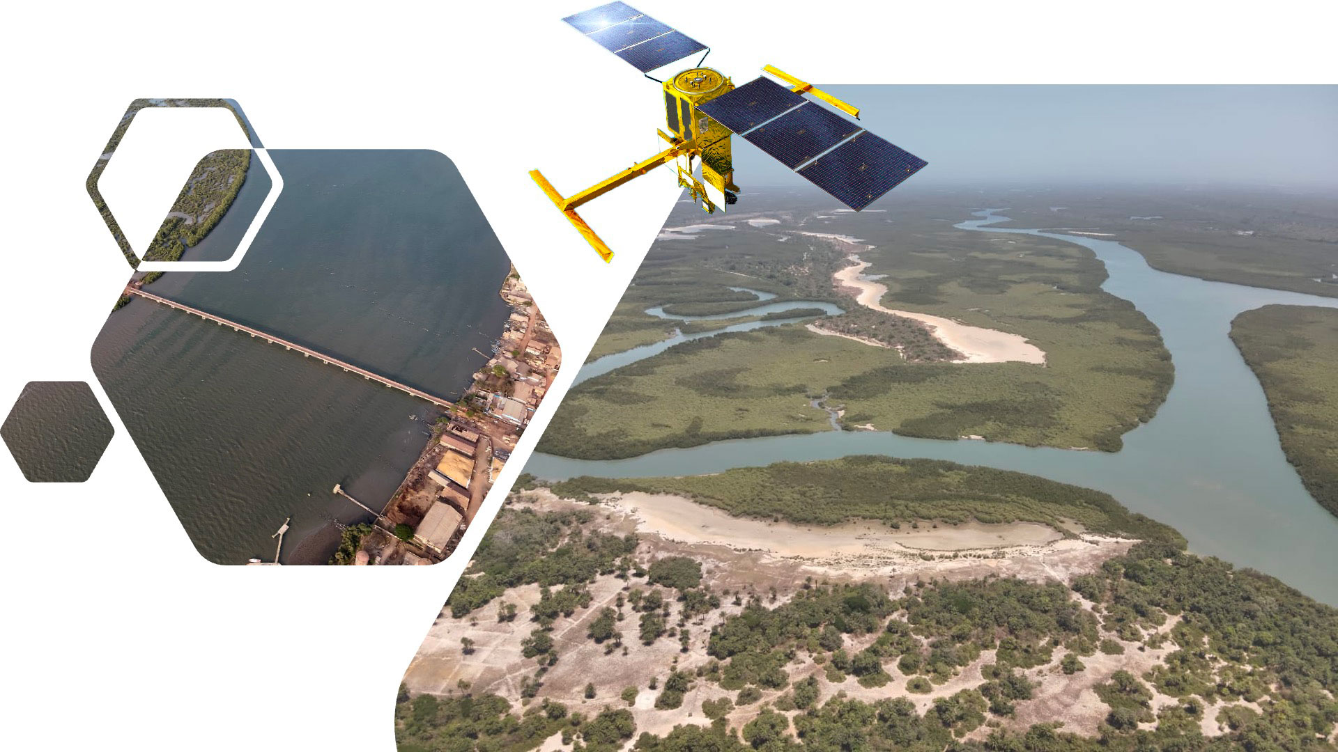
SCO accredited in March 2024, even though the SWOT satellite was still undergoing validation in orbit, the ALISE project was already planning to test its data to develop a multi-risk vulnerability index for Senegal's coastlines. This has now been achieved with conclusive results, presented in the publication “Use of SWOT Data for Hydrodynamic Modelling in a Tropical Microtidal Estuarine System: The Case of Casamance (Senegal).” [Diouf, A.; Salameh, E.; Sakho, I.; Sow, B.A.; Deloffre, J.; López Solano, C.; Turki, E.I.; Lafite, R. Use of SWOT Data for Hydrodynamic Modelling in a Tropical Microtidal Estuarine System: The Case of Casamance (Senegal). Remote Sens. 2025, 17(18), 3252; https://doi.org/10.3390/rs17183252]
“Since the 1990s, satellites have revolutionized the study of estuaries. As part of the SCO ALISE project, we analyzed the Casamance estuary in Senegal, an environment that remains poorly instrumented despite its significant ecological and human stakes,” explains Julien DELOFFRE, PhD in Hydrodynamics and Sediment Dynamics at the University of Rouen and project leader. “By combining data from the SWOT satellite with numerical models, we demonstrate that it is possible to closely monitor water level variations and improve hydrodynamic forecasts in these under-documented environments,” he summarizes.
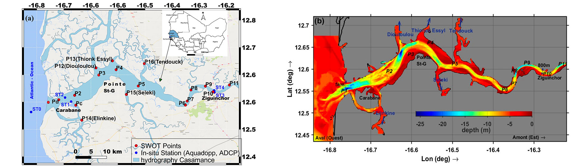
Study area: Casamance estuary (Senegal). (a) Location of SWOT points (red) and in-situ (blue) stations for measuring water level, current velocity (AWAC ADCP) and bathymetry in the Casamance estuary. (b) Interpolated bathymetry on the structured grid of the Delft3D model with a spatial resolution of 124 m. The arrows indicate the direction of the main current in the estuary, with upstream (east) on the right and downstream (west) on the left.
🖱️ Discover the publication (open access)
|
|
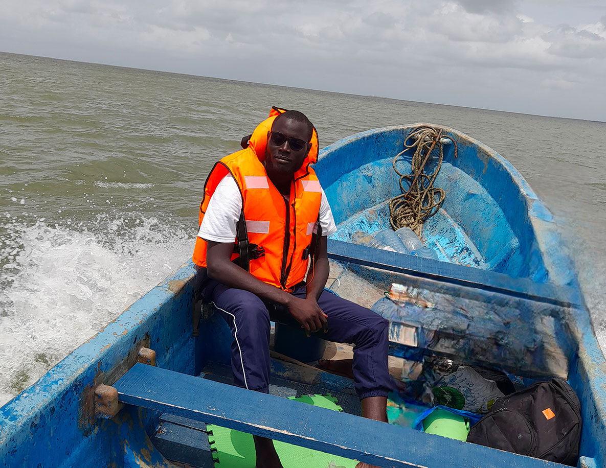
Having taken part in the study from Senegal, where he is a doctoral student in ocean and climate science at Assane Seck University in Ziguinchor, Amadou Diouf expresses his “great pride in contributing to useful science focused on the regions. On the one hand, because working on Casamance is both a scientific challenge and a human commitment, and on the other hand, because the SWOT data show that they pave the way for better documentation of West African coastal systems.” ◀︎ Amadou Diouf © LOSEC, UASZ |
A word from Senegal
“Projects such as ALISE demonstrate the relevance of cooperation between science, technology, and public policy for integrated ecosystem management. Through our membership in the SCO, ASES aims to make Senegal a regional hub for the use of spatial data to promote climate resilience and sustainable territorial development.” Maram Kairé, Director General of the Senegalese Space Studies Agency (ASES), who signed the SCO Charter on October 7, 2025, during the AfriGEO Symposium.