COSIADES
Overview
Context
A detailed understanding of land use is an essential lever for adapting territories to the effects of climate change. It enables us to guide local policies and development projects in a sustainable manner, taking account of specific territorial features. This knowledge is based on detailed mapping, which is essential for actions such as urban greening, limiting land artificialization, preserving natural environments and managing climate risks.
The production of large-scale, up-to-date maps is therefore crucial to strengthening the resilience of territories.
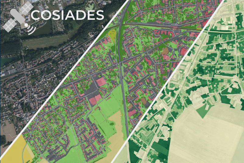
In this context, the COSIADES project aims to adapt IGN's FLAIR deep learning model to produce CoSIA* land cover maps automatically and on demand from very high resolution (VHR) satellite images, such as those from the Pleiades, Pleiades Neo or (soon) CO3D satellites, regardless of current constraints.
* CoSIA: Couverture du Sol par Intelligence Artificielle - Land Cover by Artificial Intelligence
At present, the models used by IGN (French national institute for geographic and forestry information) are the most accurate, but because they are trained on the BD-ORTHO, they cannot be applied to other types of images. The COSIADES project will remove our dependence on the BD-ORTHO, whose availability (France only, every 3 years) is incompatible with fine temporal monitoring of the territory.
These land-use maps will then be enhanced with other datasets (open source or industry-specific) to meet the specific needs of user partners (local authorities, consultancies, environmental protection associations). They will be used to generate spatial indicators useful for decision-making in a variety of fields: urban planning, the environment, risk management, etc.
Finally, the results will be valorized via web mapping platforms, facilitating analysis and decision-making for local authorities and stakeholders.
Methodology
The project is structured around four main building blocks:
1. Development of a segmentation model and automatic land cover detection
Objective: Adapt a FLAIR model to produce a 16-class land cover from THR images.
Steps:
- FLAIR model selection and fine-tuning methodology.
- Constitution of the training dataset.
- Model training.
2. Production of an automated processing line
Objective: Produce enriched land-use maps according to end-user needs.
Steps:
- Collection of user requirements and selection of relevant THR images.
- Model inference.
- Enrichment with other databases.
3. Calculation of thematic indicators
Objective: Generate indicators linked to specific issues (artificialization, revegetation, etc.).
Method: Cross-referencing of classification results with business data supplied by users. Production of statistical indicators in line with user requirements.
4. Online demonstrator
Objective: Offer an accessible platform with interfaces adapted to end-users for visualization, analysis and decision support.
Target users
This operational service is aimed at a broad spectrum of public and private users, including:
- Local authorities
- Environmental associations
- Design offices and urban planning agencies
- Research laboratories in agronomy, ecology and environment
Partners
- TerraNIS: SME specialized in geographic information processing
- IGN: Institut national de l'information géographique et forestière (French national institute for geographic and forestry information)
- France Nature Environnement Ile-de-France: Federation of environmental protection and awareness associations
- Agglomération du Grand Albigeois (Greater Albi area): Local authority
- ECOTONE: Environmental consulting firm
Application site(s)
A number of zones have been pre-identified:
- Heart of Essonne Urban Area
- Greater Albi Urban Community
- Toulouse Metropolis
Data
Satellite
- Pleiades
- Pleiades Néo
- CO3D (launch mid-2025)
Other
- IGN data: BD TOPO, RPG…
- Digital terrain and surface models
- Business data (field surveys, etc.)
Results – Final product(s)
-
The trained model for land cover classification for THR images (Pleiades, Pleiades Neo, CO3D).
-
Enriched land use layers and indicator layers in line with end-user needs.
-
Online demonstrators centralizing all production in pilot areas
👉 Availability
-
Data produced as part of the project, such as land-use maps, thematic maps and indicators, will be freely accessible online. They will be accompanied by INSPIRE-compliant metadata, as well as demonstration interfaces for end-users.
-
The model trained on the THR images will be made available, along with the documentation.


