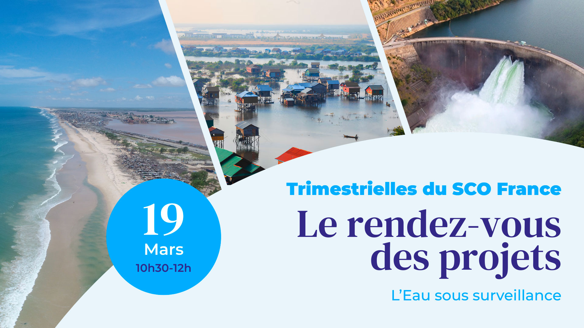
Coming soon: 20th SCO France Quarterly Meeting
On our blue planet, saltwater covers 71% of the globe, and every day a little more, while fresh water, which is increasingly in demand, represents barely 3% of all water...
Join us on Thursday 19 March 2026 from 10.30am to 12pm for the 20th SCO France Quarterly, featuring three SCO projects that use satellite data to reduce the vulnerability of African coastlines and improve water resource management.
|
To take part in the quarterly, click here (Teams link) Add to my calendar: |
To receive quarterly invitations in your mailbox, register HERE! |
The day's programme
-
Preamble: presentation by Emeric LAVERGNE (CNES) of HydroScopia, the platform for exploiting satellite hydrological data for territorial water management.
-
ALISE: Coastal areas in West Africa are vulnerable to sea level rise, threatening populations, biodiversity, infrastructure and the economy. The ALISE project is developing a multi-risk vulnerability index based on satellite data and a web-GIS platform which, designed for managers, will serve as a decision-making tool for coastal risk management in Senegal.
💡 ALISE validates SWOT for microtidal hydrodynamic modelling – 21 October 2025 -
CASCADES: To help better assess continental surface water resources, the CASCADES project automates satellite data processing chains, particularly Sentinel-1 and 2, to provide surface water products. A dedicated platform will provide a history of surface water maps (lakes, rivers, floodplains, etc.) and associated indices for six study sites in Asia, Africa and America.
-
OpHySE-MoCha: An offshoot of the SCO OpHySE project, MoCha will build a platform for forecasting extreme hydro-climatic events and supporting decision-making. The project is inspired by the alert platform deployed in French Guiana, which it is adapting to the watersheds of the African coast bordering the Mozambique Channel, where populations are largely dependent on water resources.
💡 OpHySE delivers its platform for real-time hydrological monitoring of Guyanese rivers – 19 July 2023
🤝 The Quarterly Meetings are open to everyone, so share this invitation with your network!
------------
Launched in June 2021, the SCO France Quarterly are regular meetings to bring the community together and enable each project to showcase its progress, inspire others and create synergies.
🎥 You can watch replays of previous quarterly events here.
💡 Register here to receive automatic invitations to the quarterly meetings in your mailbox.


