SEA-SMART
Coastal Ecosystem Intelligence for Sustainable Seaweed Farming
Overview
Context
Seaweeds – also known as marine macroalgae – are vital to coastal ecosystems and the global climate. They absorb large amounts of carbon dioxide, help mitigate ocean acidification, and provide critical habitat for marine biodiversity. Seaweed farming offers sustainable livelihoods and supports coastal resilience, but it also faces increasing pressures from climate change, such as rising sea temperatures, storm events, and changes in nutrient availability. While seaweeds contribute to climate change mitigation through carbon sequestration and habitat protection, unsustainable harvesting and pollution can reduce these benefits. Monitoring seaweed ecosystems is therefore essential to balance economic development with environmental protection.
The SEA-SMART solution
SEA-SMART (Sustainable Ecosystem Analytics for Seaweed Monitoring And Resilient Technologies) is a climate-smart digital product that will leverage satellite data, in situ validation, and AI to support sustainable seaweed and kelp farming. Once integrated into the Plastic-i Observatory* WebGIS, it will enable near-real-time monitoring of coastal ecosystems – focusing on biomass health, biodiversity shifts, and pollution threats.
Indeed, marine pollution – particularly plastics and chemical runoff – poses a significant threat not only to marine biodiversity but also to human health. Pollutants can enter the food chain through seafood consumption and disrupt coastal livelihoods. By integrating pollution monitoring into SEA-SMART, the project helps safeguard both ecosystem and human well-being.
👉 The project will strengthen coastal resilience by supporting carbon sequestration and habitat protection while reducing overharvesting and degradation risks. SEA-SMART will empower farmers, policymakers, and conservationists with scalable, visual, and actionable insights, enhancing climate change mitigation and adaptation in marine environments.
Application site(s)
The pilot territories of Lamberts Bay, South Africa, and Zanzibar, Tanzania were selected to represent two contrasting but complementary coastal environments where seaweed farming and coastal ecosystem health are of strategic importance.
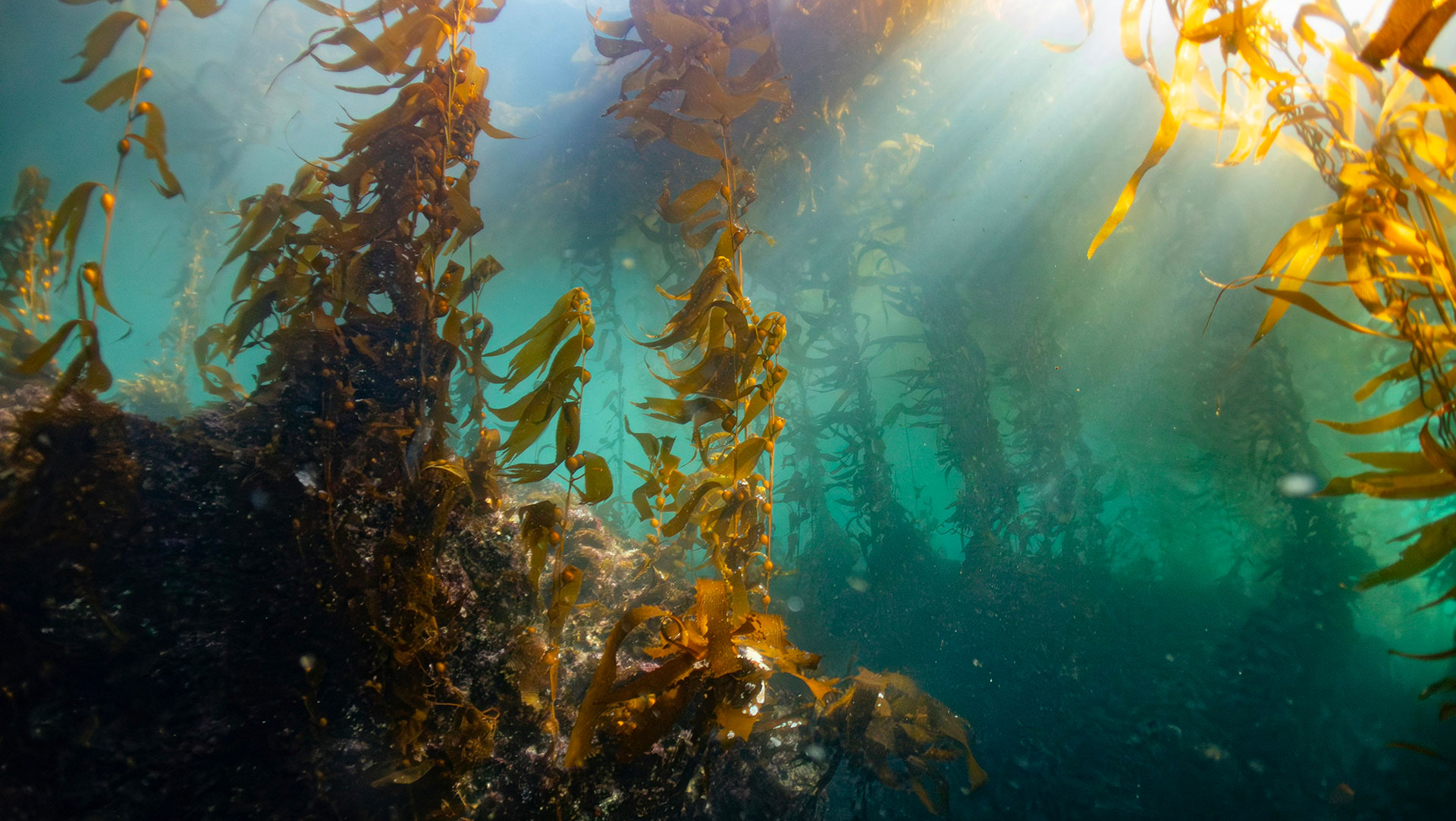
🇿🇦 In South Africa, the cold, nutrient-rich waters of the Benguela Current support extensive kelp forests and a growing seaweed industry that underpins local livelihoods and blue carbon potential. However, the region faces increasing pressures from warming waters, coastal development, and marine pollution.
🇹🇿 In Tanzania, Zanzibar serves as one of East Africa’s most established centers for tropical seaweed farming, dominated by smallholder women farmers. Yet, rising sea surface temperatures and disease outbreaks threaten yields and community incomes.
By comparing these diverse ecosystems, SEA-SMART will develop scalable monitoring tools adaptable to different climatic zones and social contexts, enhancing coastal resilience across the Global South.
Data
Satellite
- Sentinel-2
- Planet
- Pixxel
- Maxar
Other
In situ data from project partners (e.g. biomass samples, pollution indicators)
Results - Final product(s)
Planned outputs include:
- Scalable AI models for biomass & pollution monitoring
- Coastal ecosystem health maps
- SEA-SMART WebGIS platform (integrated in the Plastic-i Observatory*)
- Open API for community access
- Pilot site reports, training tools, stakeholder guidance materials
Related project(s)
The project builds upon the Plastic-i Observatory, a live WebGIS platform launched by Plastic-i in September 2024 to monitor marine plastic pollution. The Observatory currently provides actionable data on pollution sources, hotspots, and trends, while forecasting the movement of fugitive plastic across marine environments.


