ASGARD
Satellite data assimilation to ensure prevention and early warning of rainwater runoff and associated disasters
Overview
Runoff is a widespread, rapid and devastating phenomenon that causes disasters all over the world. Climate change is exacerbating this risk with more intense rainfall on drier soils. Preventing and managing the consequences of runoff on people, infrastructure, soils and pollution of natural environments is crucial for the preservation of human societies.
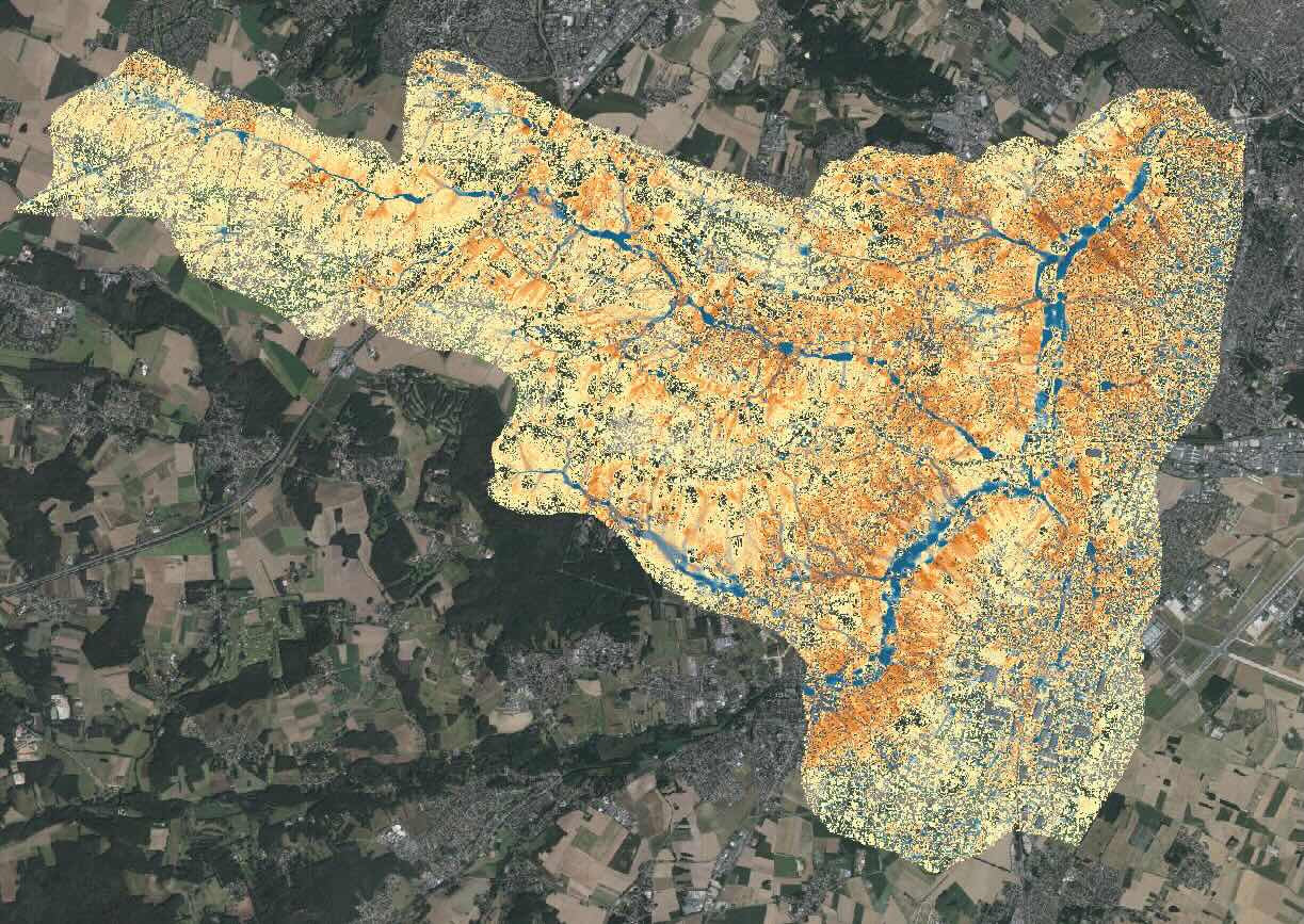
Bluemapping is the first operational SaaS* solution for modeling rainwater runoff and the water cycle on a large scale (several hundred km²) with high resolution (1-5 m) and very fast calculation times.
* Software as a Service
The ASGARD (Assimilation de données Satellites pour GArantir la prévention et l’alerte précoce du Ruissellement pluvial et des Désastres associés) project aims to assimilate satellite data to update the existing digital twin database on a very regular basis or to project the solution in developing countries where field data is lacking.
Consortium and organization
- Bluemapping brings to this project its solution and expertise in high-performance parallel computing, automated cartographic data processing routines for its digital twin, and automatic runoff calculations based on weather forecasts.
- CNES is contributing its expertise in satellite data and processing chains to link up with Bluemapping's input data.
- BRGM will provide geological data and technical support for remote sensing of soil hydrological conditions.
Satellite data assimilation is a key asset for the international deployment of Bluemapping, which already has massive replication potential thanks to the scalability of its solution, its ability to integrate diverse data sources, and the global need for runoff prevention and warning systems.
Application site(s)
-
Saclay Plateau, France
The solution will be applied to the Plateau of Saclay National Interest Operation of the Paris-Saclay Urban Community. The ongoing artificialization of this historically agricultural area is significantly impacting rainwater runoff. Satellite data will provide up-to-date topography and land use data for daily runoff prediction simulations.
- Abidjan, Ivory Coast
The solution will also be applied across Ivory Coast to estimate runoff risk. Satellite measurements will then be used to establish input data for mapping runoff risk in the country. This project is part of the collaboration between Predict Services and Sodexam to improve forecasting and early warning.
Data
Satellite
- COPERNICUS Sentinel-1 and 2
- SPOT
- SWOT
Results – Final product(s)
Thanks to this innovation, Bluemapping will be able to offer a functional runoff simulation based on daily precipitation forecasts that incorporate regular satellite data to ensure maximum accuracy.
The interface is available by subscription, but a demo version will be provided to view these results on the SCO website.
Related project(s)
-
Ademe Innov Eau project: This project, funded by the France 2030 program following a decision by the Prime Minister, aims to improve Bluemapping's calculation performance and assimilate data from Airbus Defense & Space satellites.
-
SCO FLAude and its FORO platform, which enables rural stakeholders to visualise and better understand the risks associated with flash floods in order to implement resilience plans.
-
SCO ATTEST to assess damage in areas subject to both intense runoff and long dry spells.


