SCOup
Satellite observation of the canopy to understand and protect forests
Overview
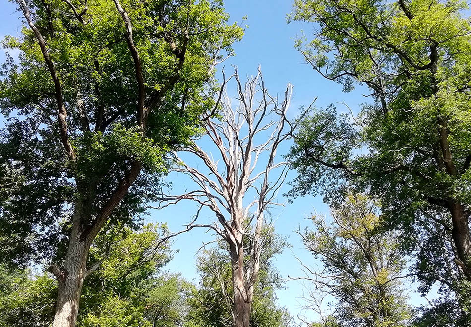
Covering more than 17 million hectares, France's forests sequester almost 10% of greenhouse gas emissions and are home to a rich biodiversity. A major economic resource, it is now under threat from global warming, with a marked increase in forest dieback (5% of surface area affected in mainland France). Given the scale of the phenomenon, field surveys are crucial but limited, hence the growing interest in satellite imagery to complement field data. Two promising methods based on Sentinel-2 have been developed, but they have difficulty in detecting diffuse dieback, distinguishing it from clear-cutting, and have not yet been tested on a national scale.
In this context, the SCOup (Satellite Canopy Observation for forest Understanding and Protection) project has three objectives:
-
Improving and generalizing the RECONFORT method for detecting decline (Mouret et al. 2024) based on Sentinel-2 data, using machine learning.
-
The operational production of reliable dieback detections for metropolitan France, on the CNES TREX platform.
-
Availability of dieback maps on a dedicated platform.
Application site(s)
Mainland France
Data
Satellites
- Sentinel-2 (optical)
- Sentinel-1 (radar)
Other
Dieback field data
Results – Final product(s)
-
Annual dieback maps
-
for all, at 10-meter resolution for public forests and degraded resolution for private forests
-
at full resolution for identified users.
-
-
Annual dieback statistics, by commune, department, region and for all of mainland France.
-
A dedicated online tool, with maps and statistics.
References
Mouret, F., Morin, D., Martin, H., Planells, M., & Vincent-Barbaroux, C. (2024). "Toward an Operational Monitoring of Oak Dieback With Multispectral Satellite Time Series: A Case Study in Centre-Val De Loire Region of France," in IEEE Journal of Selected Topics in Applied Earth Observations and Remote Sensing, vol. 17, pp. 643-659, www.doi.org/10.1109/JSTARS.2023.3332420
Related project(s)
-
SCO Clic’Forest.
-
Fordead method, Detection of vegetation anomalies from Sentinel-2 images (Dutrieux, R., et al. "Package fordead." Recherche Data Gouv, Software (2021)) 👉 Github link


