


SCOFrance
Useful linkProject page
KeywordsTrain, rail, railway network, long linear feature, radar, INSAR, ground deformation, landslides


SIRIOS: building a more climate-resilient rail network
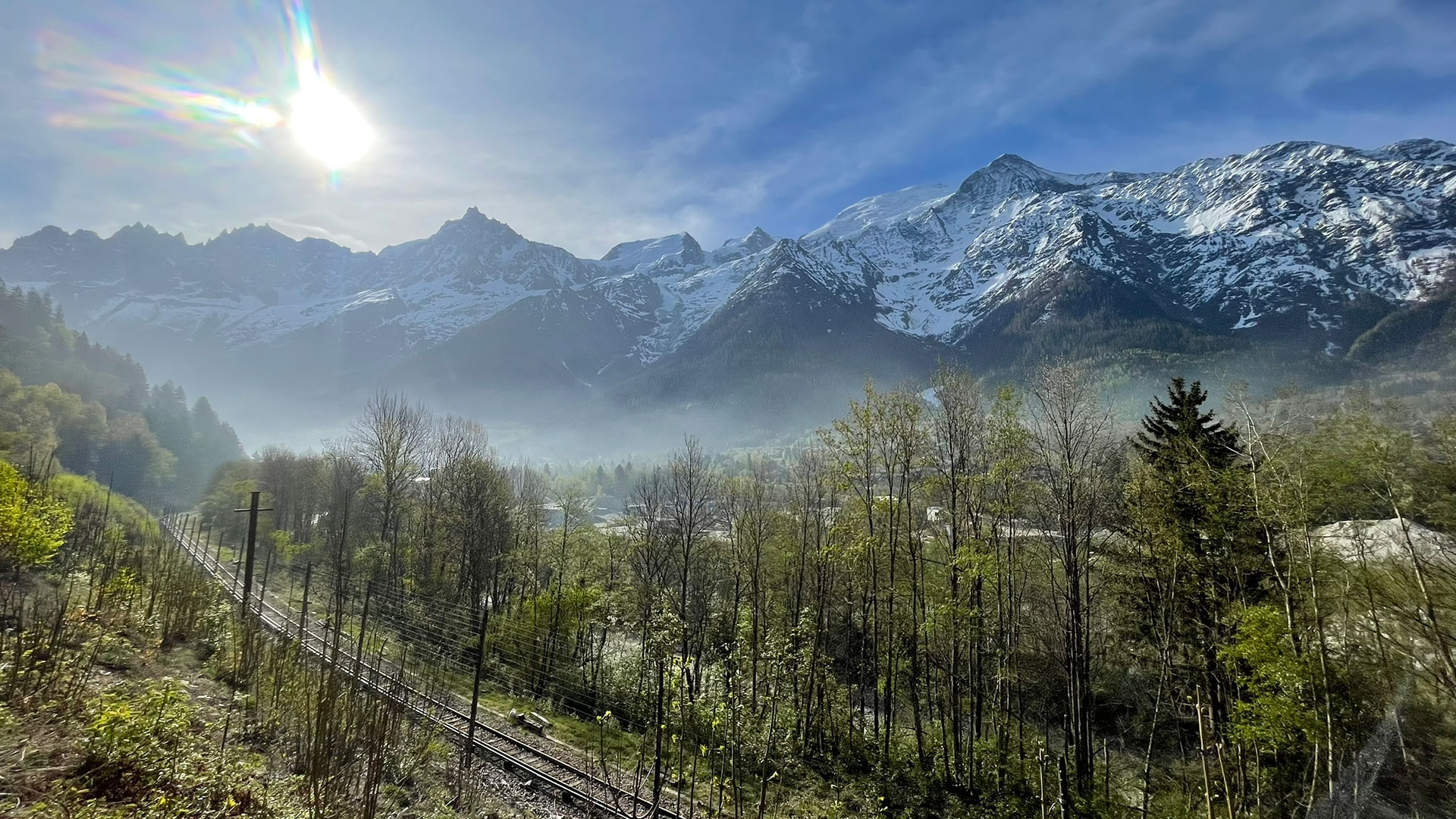
Whilst the rail network is particularly vulnerable to summer heatwaves, which can cause the rails to warp and dry out the ground beneath the tracks, another danger is present all year round: landslides, which can block a track or destabilize the ground beneath it. It is precisely these that SIRIOS – Satellite Radar Interferometry Monitoring of Long-Stretch Infrastructure – focuses on.
Satellite radar data to scan the terrain
The radar data (known as INSAR) used are sourced from the European Sentinel-1 satellites. Focusing on the ground and its deformations, SIRIOS explores the following processing methods:
- Products from the ISDEFORM French National Observation Service (Satellite Imaging of Earth Deformations, Imagerie Satellitaire des Déformations de la Terre), which quantify deformation of the Earth’s surface (slip rates, time series, digital surface models, etc.)
Processes known as PS-DS:
EGMS (European Ground Motion Service) data, comprising continent-wide ground motion measurements provided by the Copernicus Land Monitoring Service.
- Commercial data from private suppliers.
Initial results for the Alps, a strategic pilot area
Subject to numerous and large-scale natural hazards, exacerbated by climate change, the Alps appear to be a region particularly well-suited to the development of the SIRIOS tool.
👉 Initially applied to a section of track that SNCF Réseau is familiar with due to its frequent landslides, and then extended to a 50-kilometre stretch, the two methods prove to be complementary: ISDEFORM highlights major landslides, whilst the millimeter-level precision of the PS-DS processing allows even the finest deformations to be observed.
► Example of a landslide along a railway line. The pixels show the results from the ISDEFORM data, which reveal the extent of the landslide, whilst the circles show the results from the PS-DS data, which are highly precise along the railway line. © SIRIOS | 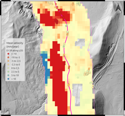 |
👉 The team then combined historical landslide data, InSAR data and field data to train a machine learning model for landslide susceptibility. Tested on three lines not included in this training, the results are very promising, as the model was able to identify almost all the known risk areas on these three lines.
► The two areas highlighted in red represent zones known for their landslide risk, whilst the circles represent the model’s predictions; a strong correlation between the two can be observed. © SIRIOS | 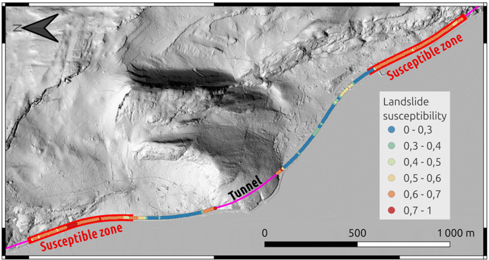 |
According to Paul Pitard, project lead for SNCF Réseau, “by analyzing the parameters of each area, we found that it is first and foremost the topography, and secondly the INSAR data, that lead the model to classify an area as at risk or not. This proves that radar data is crucial for our models predicting risk areas”.
👉 In collaboration with the ISTerre-Grenoble laboratory, the team has applied the model to the entire Alpine region and is currently analyzing the results area by area.
Towards a large-scale, multi-network tool
🛤️ The next step for SIRIOS will be to test its model on another railway region in order to improve predictability and enable its application across the whole of France.
🤝 With this in mind, SNCF Réseau is organizing a workshop in November 2026, as part of SIRIOS, bringing together French infrastructure managers (EDF, RTE, IGN, NATRAN), European railway operators (British, Spanish, Swiss and German), as well as the ESA and the CNES. Over the course of these two days, “we will be reviewing our INSAR experience to overcome technical hurdles, potentially launch collaborations, and find solutions to scale up, which is a shared ambition,” summarizes Paul Pitard.
🛰 In anticipation of the launch of ESA’s ROSE-L (Radar Observing System for Europe in L-band) satellite, SNCF Réseau is also testing the use of the L-band, which penetrates vegetation more effectively, as vegetation can obscure small ground deformations. Furthermore, the L-band also makes it possible to determine soil moisture levels, which is a definite advantage as soil water saturation is crucial for predicting landslides.