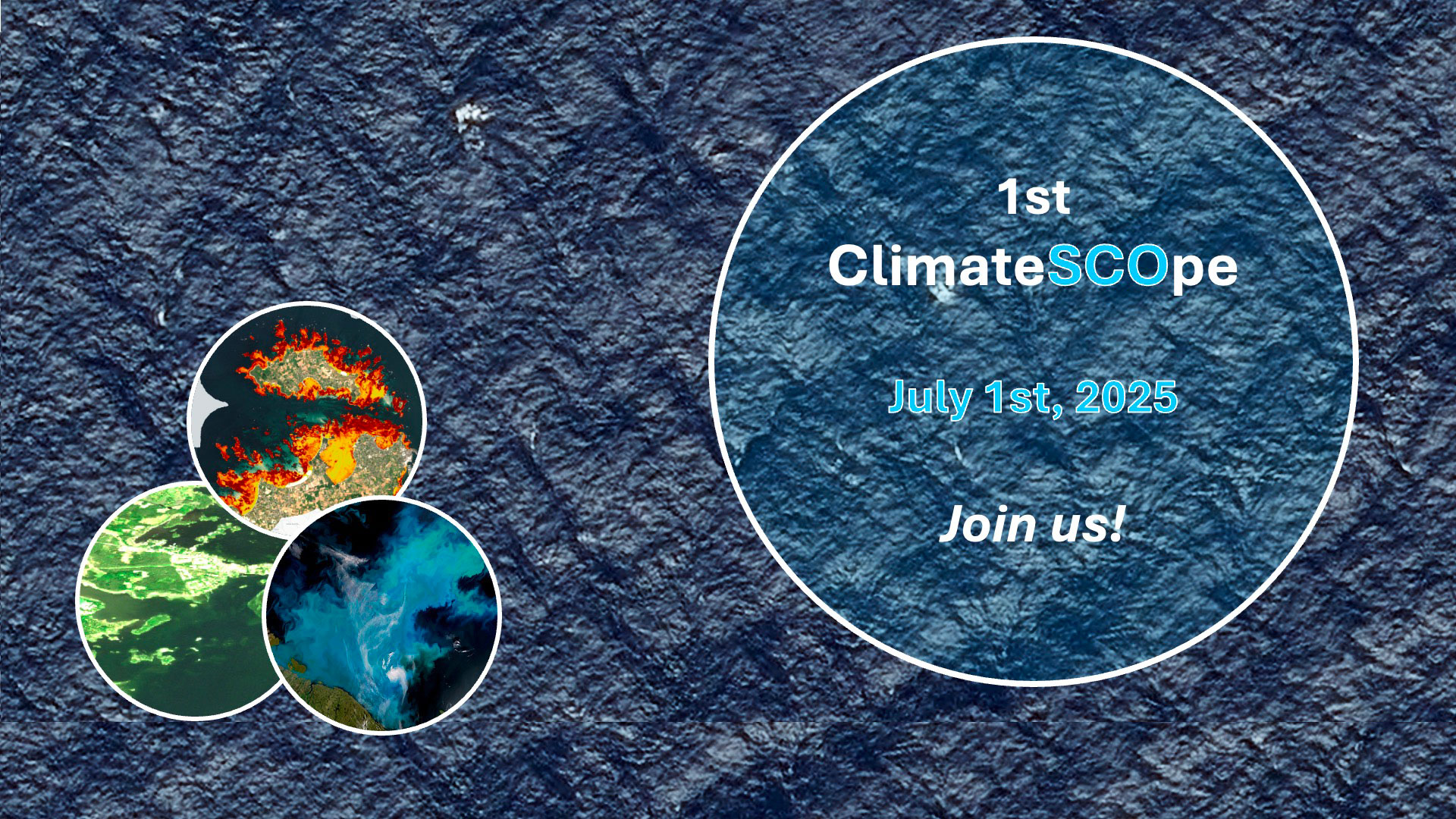
Soon the 1st ClimateSCOpe
To amplify the SCO's influence, which continues to grow every year, the Global Awareness working group is launching a brand new event: the ‘ClimateSCOpes’, inspired by the format of the SCO France Quarterly meetings, which have proved their worth over the past four years. The idea? Strengthen the SCO community's ties on a global scale and offer a themed stage each quarter for projects to highlight their progress and encourage synergies between continents.
For this first episode, we're off to the Big Blue for the United Nations Ocean Conference.
Meet us on Tuesday July 1st, 2025, from 11 a.m. to 12:30 p.m. UTC with three SCO projects that use satellite data to monitor and protect our oceans.
🛜 To take part in the ClimateSCOpe, click here (Microsoft Teams link)
💡Save the login link in your calendar
Today's program
-
Introduction by Aarti Holla-Maini, Director of UNOOSA
-
Preamble: presentation of the Franco-American SWOT satellite mission which, since 2023, has been revolutionizing space altimetry and hydrology with results of exceptional quality and accuracy.
-
🇸🇪 SwedCoast-BlueCarb: This Swedish project aims to produce maps of underwater vegetation by combining satellite data, field data and specialist knowledge. In addition to providing information on Baltic blue carbon and climate change, the results provide information on the effect of land type and land use on coastal water quality. They will feed into an online decision-support tool for coastal zone managers.
-
🇫🇷 LITTOSAT: This French project has set up an infrastructure for the production and distribution of seasonal regional satellite products, making it possible to observe changes in coastal vegetation and measure the effects of climate change. Thanks to an intuitive visualization interface and a robust architecture, the project is being deployed in South Africa, supported by the SANSA space agency.
-
🇳🇴 HabHB: This project aims to improve the detection and warning of high-biomass phytoplankton blooms in Norwegian fjords, whose adverse impact on coastal activities is accentuated by climate change. The project integrates satellite observations, chlorophyll measurements and species identification. This information will be fed into an existing web portal for local authorities and aquaculture stakeholders.
🤝 The ClimateSCOpes are open to all, so share this invitation with your network!
One last tip: if you can't join us, don't worry, replays will be posted online.


