

|
SCOFrance 18 Working meetings in 7 weeks Useful links Key wordsRegional nature parks, Occitania, Living Lab, grasslands, forage resources, snow cover, lagoon, consultation |
ADOPT: at the heart of regional nature parks
At the beginning of March 2022, we welcomed the launch of the ADOPT project, which began a series of consultations to define the priorities and needs of regional nature parks (RNPs), which the project team shared in the form of videos (in French).
Four months later, half of the workstreams have been completed, bringing the project stakeholders to a pivotal moment. The selection of the first indicators is planned for the beginning of summer 2022, for a production launch during the summer in order to carry out user tests in the autumn.
A Living Lab approach
Formalised by E2L, the Living Lab approach comprises four loops. Each one is an iterative process that progresses through numerous meetings, sometimes with all the stakeholders, sometimes with each of the three pilot parks. In between these meetings, back office work prepares the geospatial datasets that serve as a basis for discussion at the following meetings.
Loop 0, completedObjectives => results:
Loop 1, completedObjectives => results:
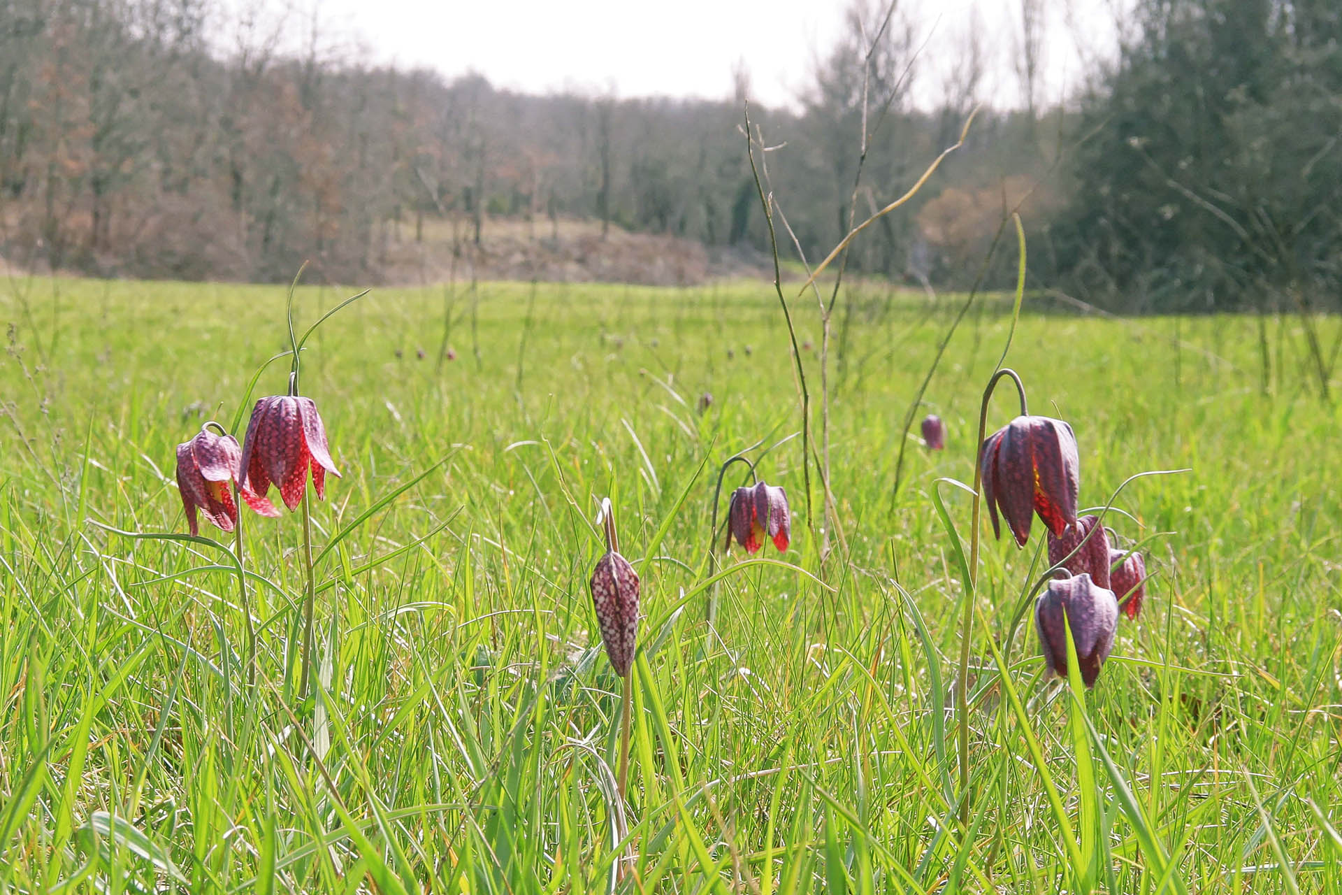
Loop 2, planned for the second half of 2022Objective: To deepen the use of remote sensing data in real life situations and to identify possible indicators Loop 3, planned for 2023Objective: Move to a "Pilot" service (real scale, real conditions of use and realization of the service) Outlook: focus on fodder resourcesThe team seeks to identify indicators that are useful for monitoring long-term changes but also have more immediate operational use. Indicators of phenology and productivity of grasslands and other grassy areas are a good example, as they allow :
|
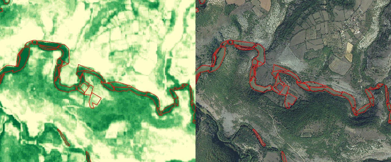
On the right, NDVI vegetation index from Sentinel-2 cumulated from March to July 2021 and red overlay of grassland plots subject to a late mowing contract as of 20 June. On the left, IGN aerial photograph of the same area.
Subscribe to the ADOPT newsletter!
To support the community approach implemented, the project team now proposes the ADOPT newsletter. Setting up a common working framework, the inter-park dynamics, the approach to remote sensing and the first lessons learned, it's all there!