


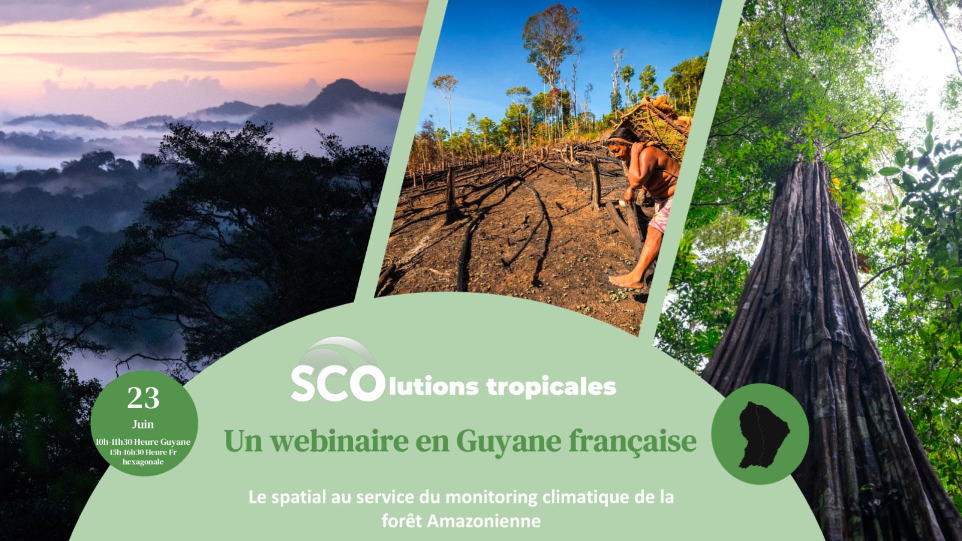
Tropical SCOlutions
Tropical SCOlutions, a webinar in French Guiana
Learn more ➔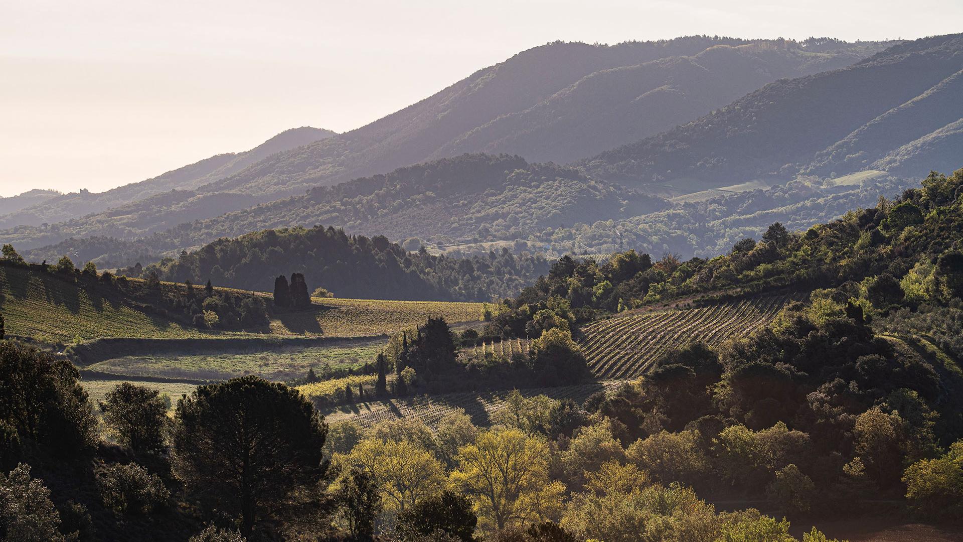
ATTEST
ATTEST: a story of Aude
Learn more ➔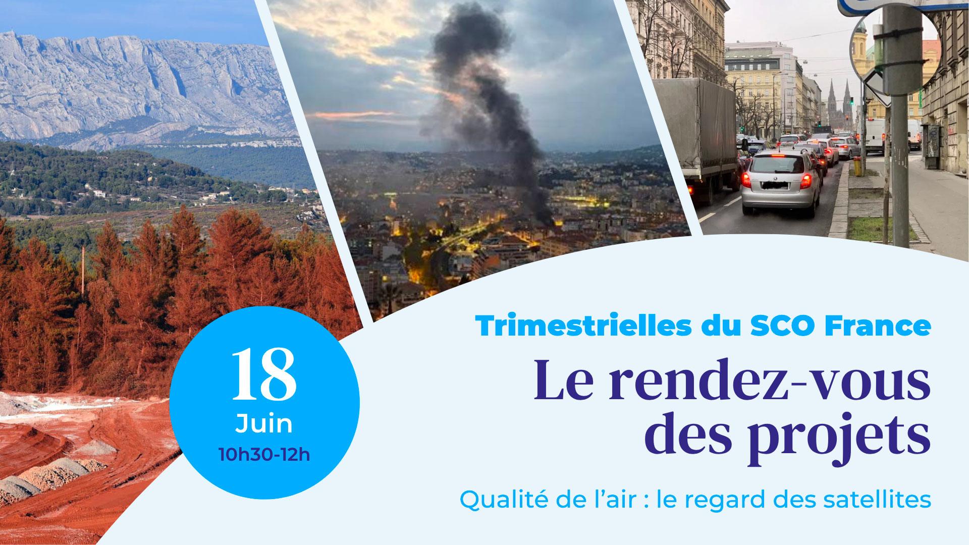
Quarterly 21
21st SCO France Quarterly Meeting
Learn more ➔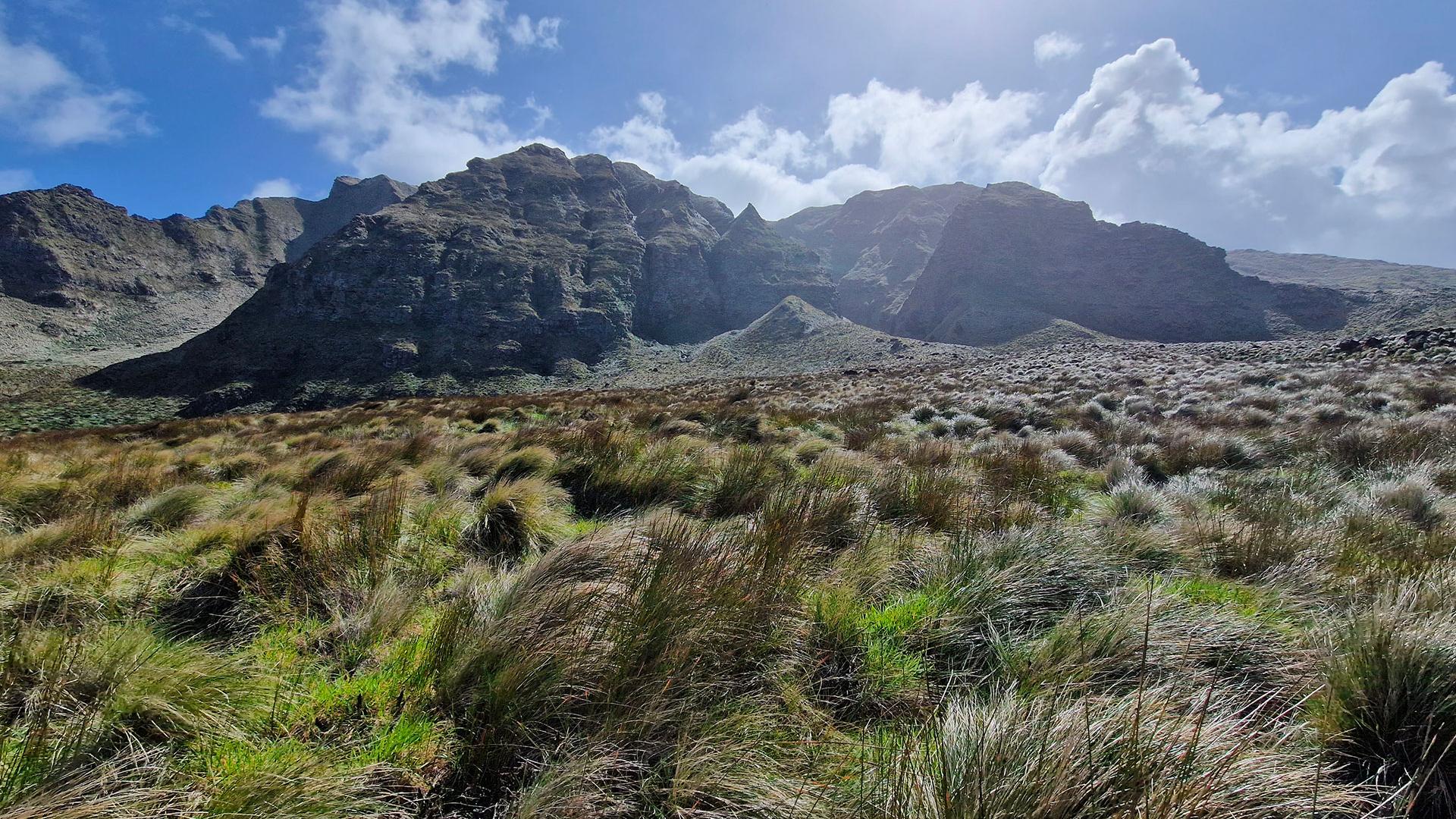
Cartovege
Cartovege2: mapping the unique biodiversity of the sub-Antarctic islands
Learn more ➔
GEO Symposium
The SCO at the GEO Symposium 2026: Earth Intelligence and the 17th Steering Committee
Learn more ➔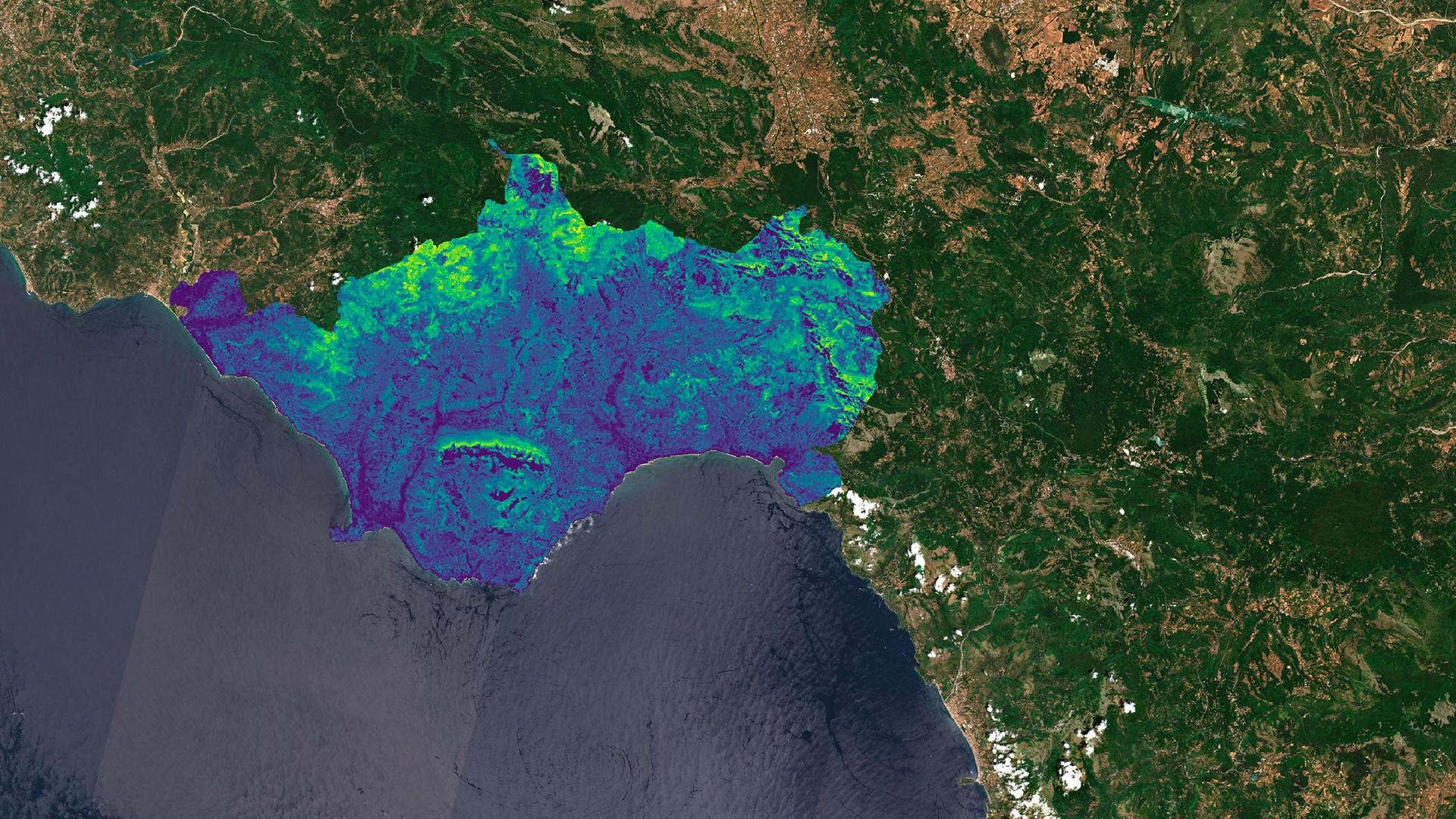
CACAO
CACAO releases its 2025 forest carbon maps
Learn more ➔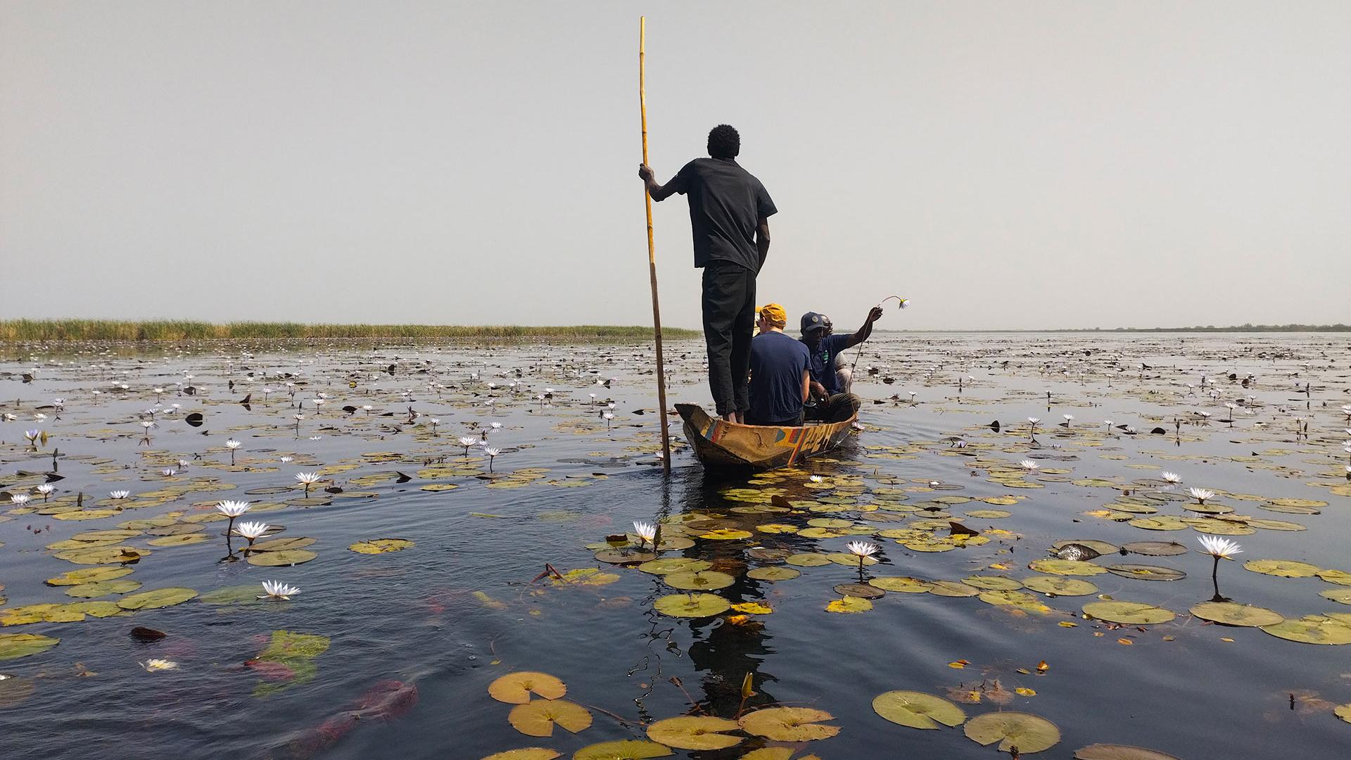
VOQUALISE
VOQUALISE, mission report from Upper Casamance
Learn more ➔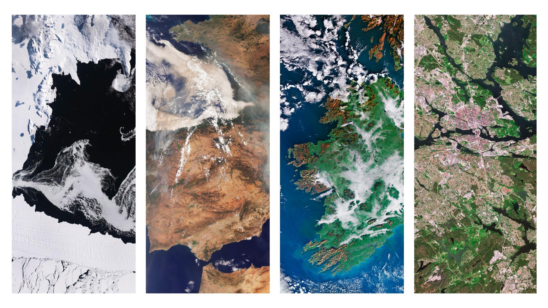
2026 International Edition
SCO International: 2026 Edition
Learn more ➔
FLORIA
FLORIA, or how to read the air we breathe
Learn more ➔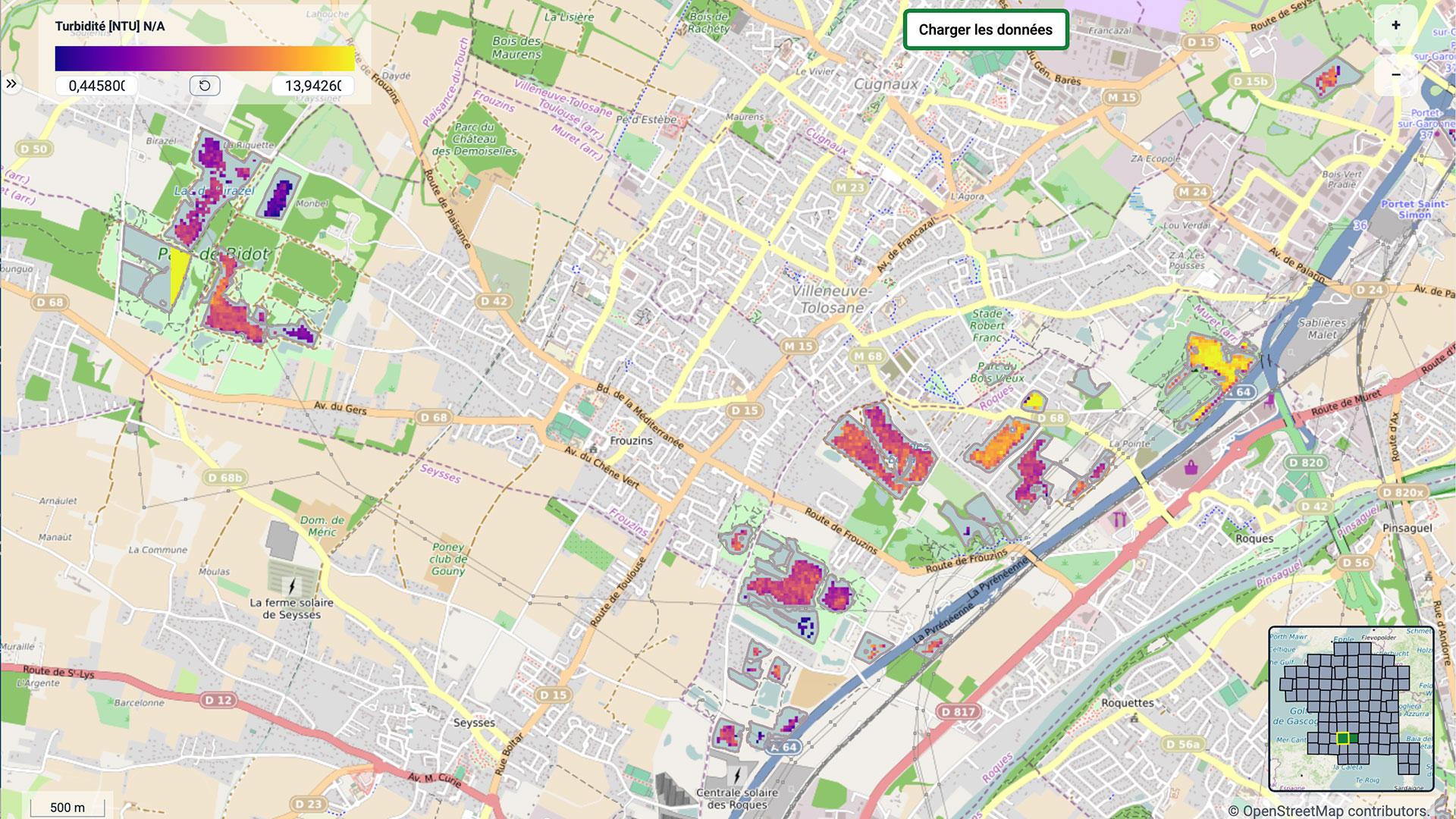
XtremQuality
-
Tropical SCOlutions
Tropical SCOlutions, a webinar in French Guiana
Learn more ➔
ATTESTATTEST: a story of Aude
Learn more ➔
Quarterly 2121st SCO France Quarterly Meeting
Learn more ➔
CartovegeCartovege2: mapping the unique biodiversity of the sub-Antarctic islands
Learn more ➔
GEO Symposium