


SCOFrance
3 projectsEO4InterTopo
SCOast-DT
VOQUALISE
Next Quarterly December 2026
View previous quarterly newsletters


22nd SCO France Quarterly Meeting
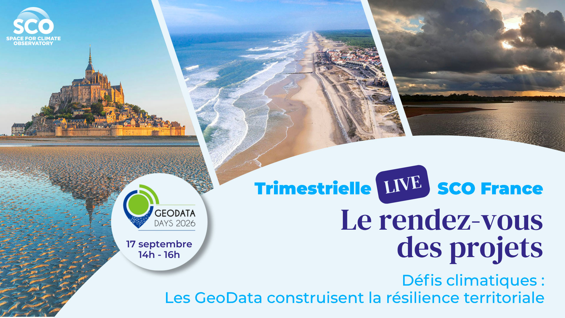
Regions are never static; they are constantly evolving. In recent years, these changes have accelerated as a result of human activity and climate change.
However, as Célie Losada, a data usage expert at CNES and moderator of this live session, points out: “Today, thanks in particular to satellites, we have the means to observe these changes in order to inform the solutions that will shape the regions of tomorrow. Data is no longer merely a tool for knowledge, but also for action.” ► Recorded that very morning in the aisles of the GDDs, these are the enthusiastic testimonials from data operators and users. © SCO |
To illustrate this point, three SCO projects presented their use of satellite data for coastal resilience and inland water management – topics which, as the final round-table discussion revealed, are highly complementary.
To remember
EO4InterTopo, Monitoring topographical changes in the intertidal zone
By Edward SALAMEH (CNRS)
At the land–sea interface, intertidal zones act as vital natural buffers for protecting coastal regions. By using optical and radar satellite imagery, EO4InterTopo maps the morphological changes in Normandy’s intertidal zones to contribute to the effective management and conservation of these critical ecosystems. The platform’s demonstration is particularly illuminating. |
|
Key points
- Satellites used:
Sentinel-2 at 10 m and Sentinel-1 radar at 23 m, supplemented by SWOT, to reconstruct intertidal topography
Pleiades VHR for classifying substrate types
- Ice-Sat-2, a laser altimeter, for validating topographic products at the Normandy scale
- 3 products:
Topographic maps
Substrate classification maps
- Storms: a catalogue of events compiled from ERA 5 wave height data
- The EO4InterTopo web interface, which is freely accessible, allows users to view the results.
- As an additional product for managers requiring meaningful insights into erosion or accretion trends, the project has also developed the WaterOccMap interface.
💡 EO4InterTopo: 800 km²of the Normandy foreshore monitored from space – 24 August 2026
SCOast-DT, Developing digital twins of coastal areas
By Yannick TANGUY (CNES Lab’OT)
This project focuses on the study and adaptation of coastal areas in the context of climate change by creatingdigital twins using Earth observation data. Where to build, what to protect, when to act? The project is developing a dynamic tool capable of simulating climate change scenarios for a range of extreme events, such as coastal flooding and coastal erosion. When viewed alongside the specific characteristics of different regions in this live session, the potential appears immense. |
|
Key points
- Satellites used
Pleiades and Pleiades Neo to create the 3D digital twin (topography, bathymetry and land cover)
- Sentinel-2 and LandSat to reconstruct the history of the coastline
- Three pilot territories emblematic of coastal challenges:
New Caledonia for marine inundation phenomena
The Nokoué lagoon in Benin, for coastal hydrological dynamics,
- The French Atlantic coastline for changes in the coastline.
- Work is currently underway to develop a user interface accessible to as many people as possible.
- Preparations are under way for the production of a coastline map covering the whole of France, which will be open source.
VOQUALISE, Improving monitoring of water volume and quality in Senegal
By Manuela GRIPPA (IRD/GET)
This project aims to support water resource management in West Africa, particularly in the Kayanga-Anambé basin in Senegal. It is developing a web-based platform capable of quantifying water stocks in reservoirs, estimating water quality parameters and characterizing water uses. Using satellite and in-situ data, the tool aims to assess the current situation and explore scenarios for future developments in the context of climate change. |
|
Key points
- Satellites used:
SWOT, Sentinel-3 and Sentinel-6 for changes in water levels
Sentinel-2 and Landsat for water color, converted into surface water quality parameters
- GPM for precipitation
- 3 pilot water bodies where the project calculates and highlights variations in water volume (since 2014) as well as water quality parameters (transparency, presence of sediments, phytoplankton or toxic algae, etc.)
- Volume estimates compared with evaporation and rainfall are particularly revealing:
- A decrease in water volume during the dry season that exceeds water losses through evaporation indicates that other factors are causing water loss, such as outflows (leaks from the dam) and withdrawals for human uses, particularly irrigation.
- In years with a short rainy season, losses during the dry season are not offset by rainfall, raising questions about the future and how to plan ahead. VOQUALISE enables scenarios to be simulated based on forecast temperatures and rainfall.
- The project has benefited from advances made by SCO StockWater in estimating water volumes and by SCO XtremQuality in assessing the robustness of its method in terms of water quality.
- Reproducible and adaptable, VOQUALISE is already feeding into other projects such as SPLASH to scale up to all water bodies in West Africa.
💡 VOQUALISE, mission report from Upper Casamance – 13 May 2026
Round table: cross-referencing data and perspectives
From the coastline to inland waters, the three projects share a common challenge: to better understand constantly evolving environments using space data. The discussions highlighted how the approaches complement one another and the importance of combining data to achieve this.
They also highlighted the essential role of co-creation with local stakeholders – at the heart of the SCO approach – in transforming space data into useful and operational tools.
------------
🤝 The ‘Quarterlies’ webinars are open to everyone, a regular event designed to engage the community and enable each project to showcase its progress, inspire others and create synergies.
Since July 2025, ClimateSCOpes have been organizing similar events for international projects, with two webinars held each year.