

Space observation for the Mekong basin

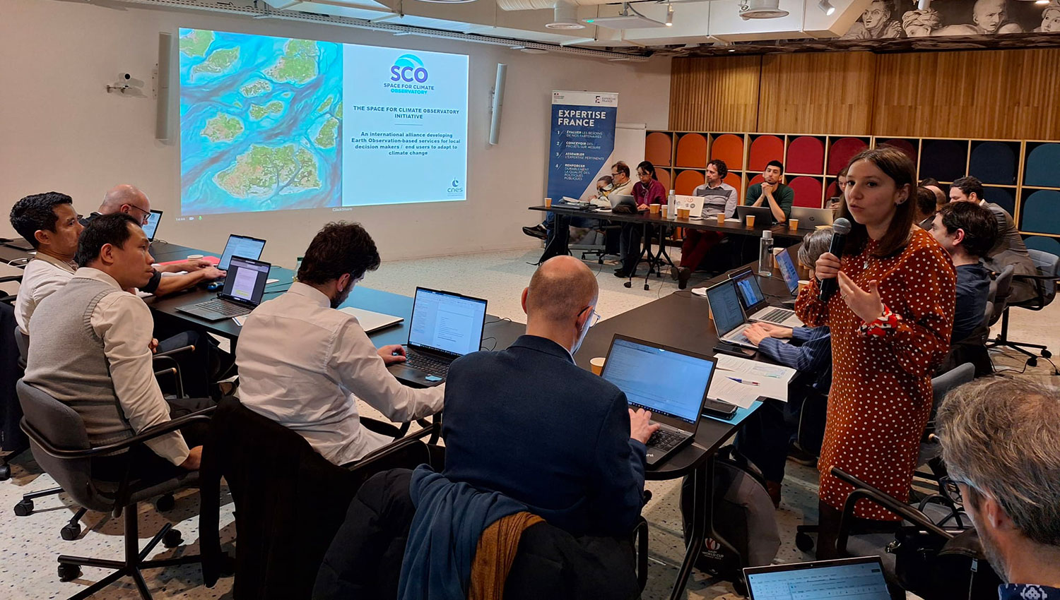
On Friday 13 February 2026, the Mekong River Commission (MRC) brought together part of its operational team and French experts in Earth observation at the Expertise France offices in Paris for a technical workshop dedicated to strengthening the monitoring of the Mekong River. The aim was to share concrete feedback and identify solutions adapted to the basin, combining in situ measurements and satellite data.
A structuring network, persistent challenges
|
The MRC operates a monitoring network covering hydrology, sediments, water quality, fisheries and ecological health. Around 80 stations transmit hydrometeorological data in near real time – every 15 minutes – thanks in particular to the support of the French Development Agency (AFD, Agence Française de Développement) over the last 15 years. Essential for flood forecasting and regional coordination, this system nevertheless faces several constraints: high maintenance costs, vulnerability of equipment, uneven spatial coverage and logistical complexity across four countries (Lao PDR, Thailand, Cambodia and Vietnam). In this context, satellite observation appears to be a strategic complement. Without replacing ground stations, it improves spatial coverage, consistency of analysis and understanding of hydrological dynamics at the basin level. |
The Mekong Basin and climate change Nicknamed the "river of nine dragons" because of its nine-branched estuary, the Mekong is a colossus of water. Out of the more than 65 million people living in the Lower Mekong Basin LMB (Laos, Thailand, Cambodia and Vietnam), about 40% live within 15 km of the river, most within 5 km of the main stream. Across the LMB, the effects of climate change are obvious. Rising temperatures and changes in rainfall intensity, river flow, floods and droughts are destroying homes, infrastructure, crops and fisheries. In addition, predicted rises in sea level are set to increase salinity and floods in the Mekong Delta, damaging crops in the most productive area of the basin. [Source : mrcmekong.org] |
Four sessions to structure the discussions
Organized throughout the day, the workshop focused on four main areas:
- an overview of hydrological and sedimentary challenges presented by the MRC delegation ;
- the role of space imagery in supporting in situ measurements ;
- international space initiatives applicable to the Mekong basin ;
- Feedback from industry, notably from HydroMatters (SCO projects on operational hydrology OpHySE, OpHySE-MoCha and CAHYSPA) and CLS (SCO project on monitoring and predicting marine flooding Littoscope).
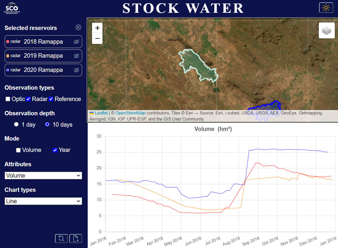
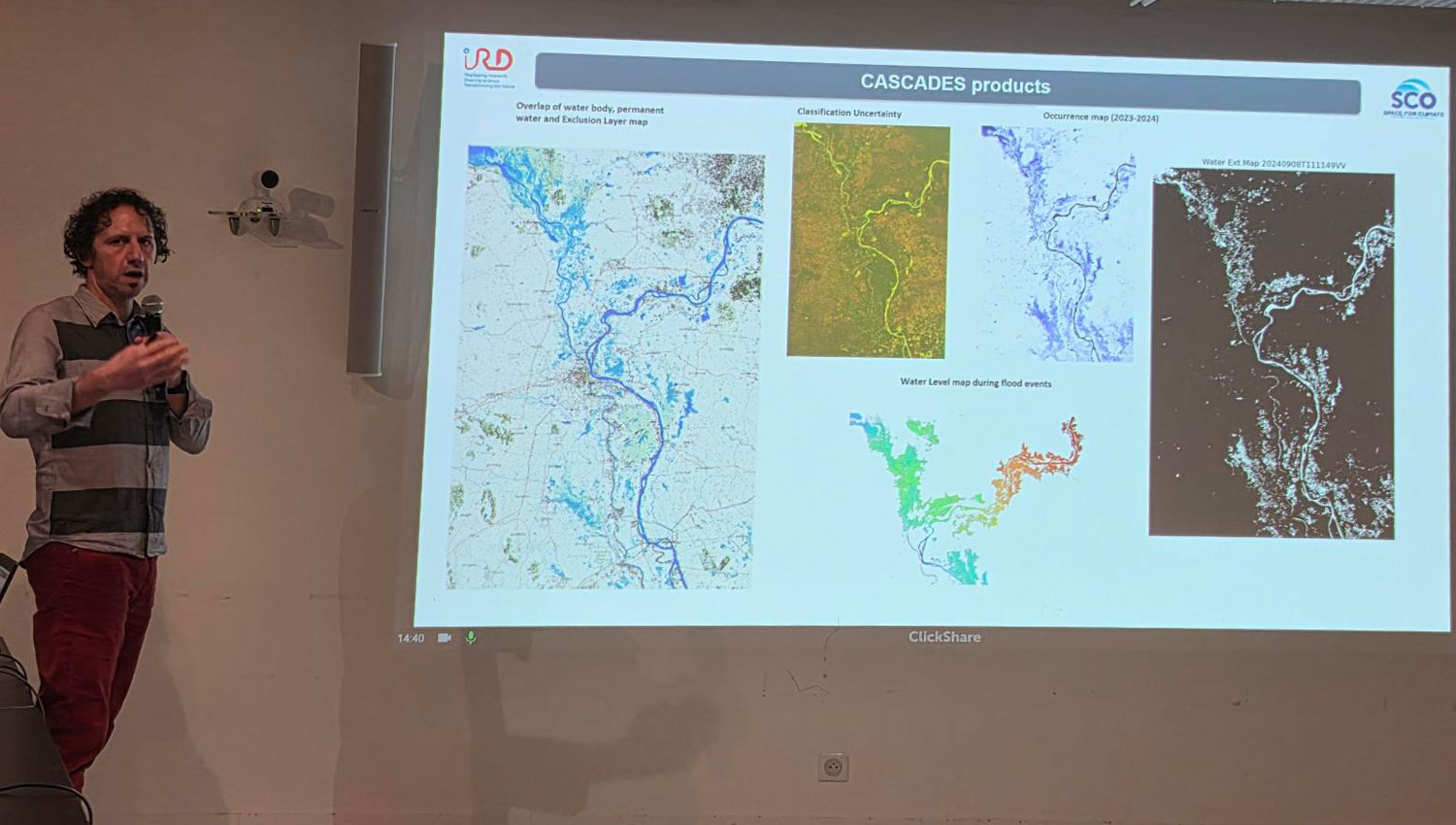
Possible SCOlutions for the Mekong basin
With three presentations by the SCO, including two project presentations, this session highlighted the structuring role that the SCO can play in supporting concrete and reproducible projects adapted to the hydrological challenges of the Mekong basin.
|
|
|
|
|
|
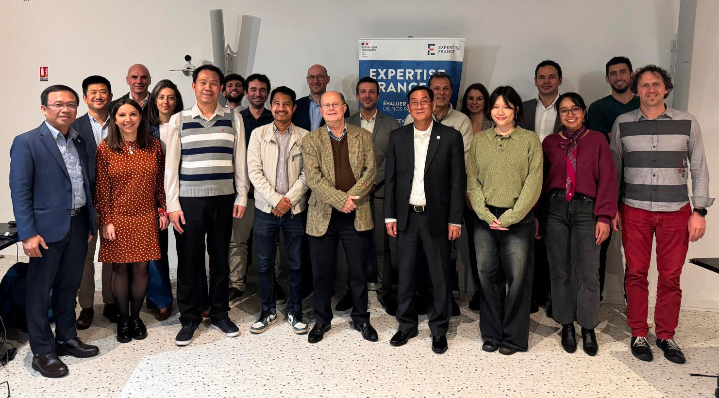
Nearly 25 experts gathered at the invitation of the MRC, both in person and remotely.
Visuals © SCO/CNES