

SCOFrance
20mg/m2/hof methane emitted by rice cultivation
PartnersCESBIO, GlobEO, agences spatiales vietnamienne (VNSC) et française (CNES)
Useful linksMérimée project
Vimesco-Rice project
VietSCO portal
Key wordsVietnam, methane, rice growing, irrigation
VietSCO on the methane attack with Mérimée
|
Reducing methane emissions is considered to be the most effective strategy for reducing global warming in the short term and at the lowest cost (see box at the end of the article). This is the path chosen by Vietnam, which made a commitment in 2020 to reduce its greenhouse gas emissions by 9% by 2030. The agricultural objective is based primarily on reducing methane emissions by managing the irrigation of rice fields. |
|
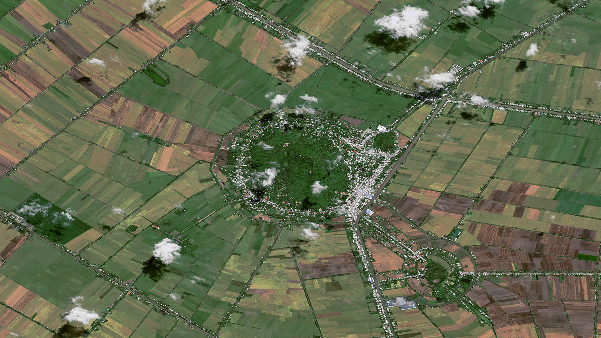
Rice paddies and methane
In flooded rice fields, the decomposition of organic matter in an oxygen-free environment produces methane. Although rice fields are traditionally flooded throughout the plant cycle, it has been shown that intermittent drainage of rice fields reduces methane emissions by 40 to 50% and the volume of water required by 30%, without affecting rice yields.
The Mérimée solution
Although initiated, rice field drainage practices are not yet widely adopted in Vietnam. To make them more widespread, the government needs dynamic maps of the irrigation status of rice fields (continuous or intermittent flooding), enabling it to localise incentive and infrastructure development efforts throughout the Mekong Delta.
👉 Mérimée will provide Vietnamese users with maps of irrigation practices and methane emissions on a regional scale.
👉 These products will be available on the VietSCO platform, which already provides, among other things, maps of rice paddies (see paragraph On the origins, VietSCO).
This information will be useful to non-governmental organisations, companies and international bodies that finance farmers and local authorities via low-carbon incentive credits.
Work in progress
To produce these maps, the project uses Sentinel-1 radar satellite data from the European Copernicus programme, ALOS2-PALSAR2 data supplied by the Japanese space agency JAXA as part of the Asia-Rice project, and SAOCOM data supplied by the Argentine space agency CONAE. While the Sentinel-1 data, acquired frequently, can be used to monitor changes in rice cover, the ALOS2-PALSAR2 and SAOCOM data, acquired at a longer wavelength, are better able to penetrate rice fields and provide information on the state of flooding in the fields.
|
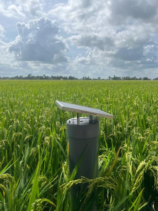
At the same time, 30 automatic measuring stations were installed in several rice fields in the Mekong Delta in November 2023. Fitted with connected sensors, these stations allow daily water levels to be tracked on a smartphone. Providing the project with essential field data, this system also enables farmers to demonstrate their low-carbon irrigation practices. ▶︎ Typical station. © Rynan Technologies, CESBIO, GlobEO |
|
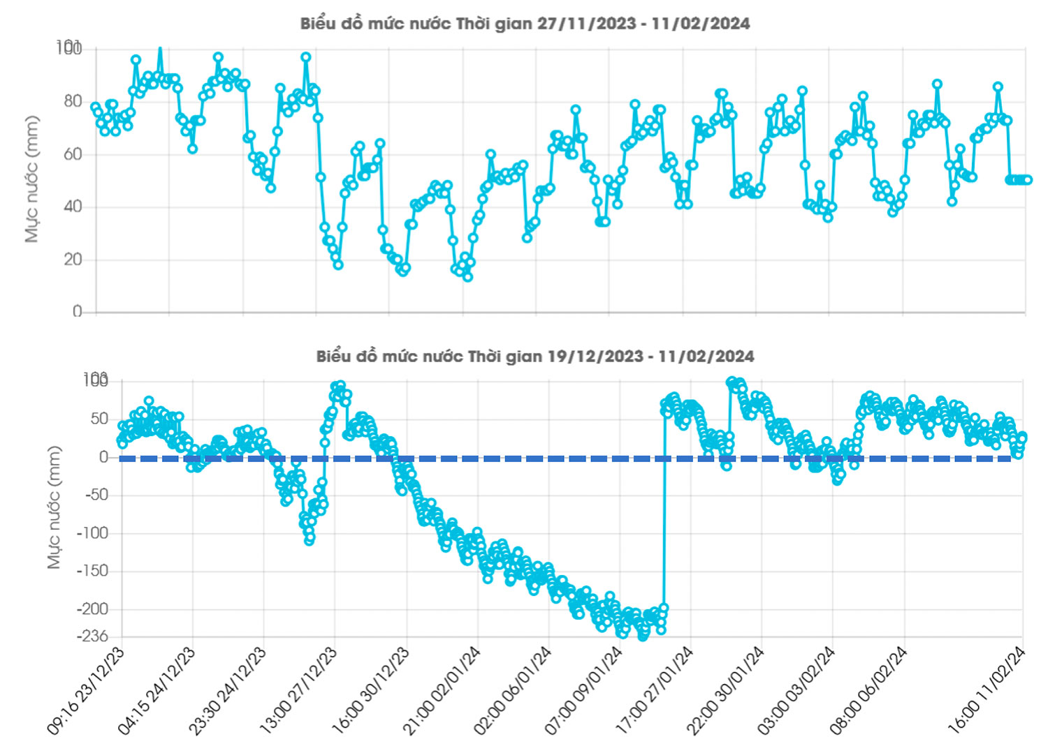
Daily measurements of the water level in the rice fields. The upper graph shows a field that is permanently flooded. In contrast, the lower graph shows that the farmer allows the water level to drop when the crop is harvested, until the next harvest. © CESBIO
The project team is currently working on correlating satellite and in situ information to develop algorithms for mapping the state of flooding in fields.
Work to come
The next stage will be devoted to measuring methane emissions, with the aim of simulating different scenarios based on changes in farming practices. The project team aims to upgrade the VietSCO platform with these new products in early 2025, for operational delivery in mid-2025. As with the Vimesco-Rice project, Vietnamese users will benefit from a training session.
On the origins, VietSCO
The VietSCO platform was developed as part of the Vimesco-rice and Viet-ARRO projects to support the resilience of rice farming in the Mekong Delta to the impacts of climate change. Based entirely on radar imagery, it provides seasonal maps of rice crops, maps of the extent and duration of flooding, and projections of areas that are no longer suitable for growing rice under various climate change scenarios. Given the usefulness and effectiveness of this tool, the Vietnamese partners showed great interest in extending this study to cover methane emissions from rice cultivation. The project team responded with Mérimée, with renewed support from the SCO.
👉 See the results of Vimesco-Rice (adaptation to slow-onset climate change phenomena)
👉 See the results of Viet-ARRO (adaptation to extreme events, including typhoons)
|
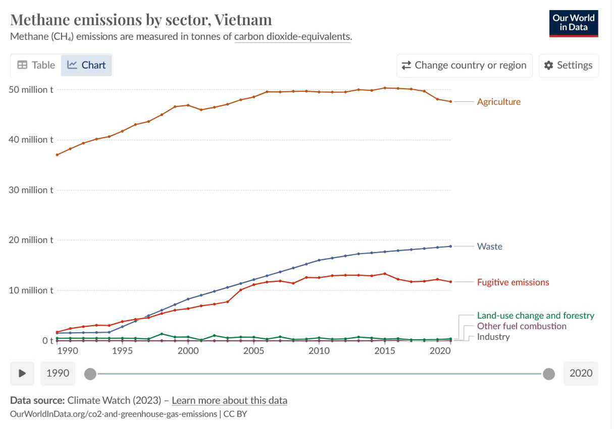
Reducing methane emissions, a global priority
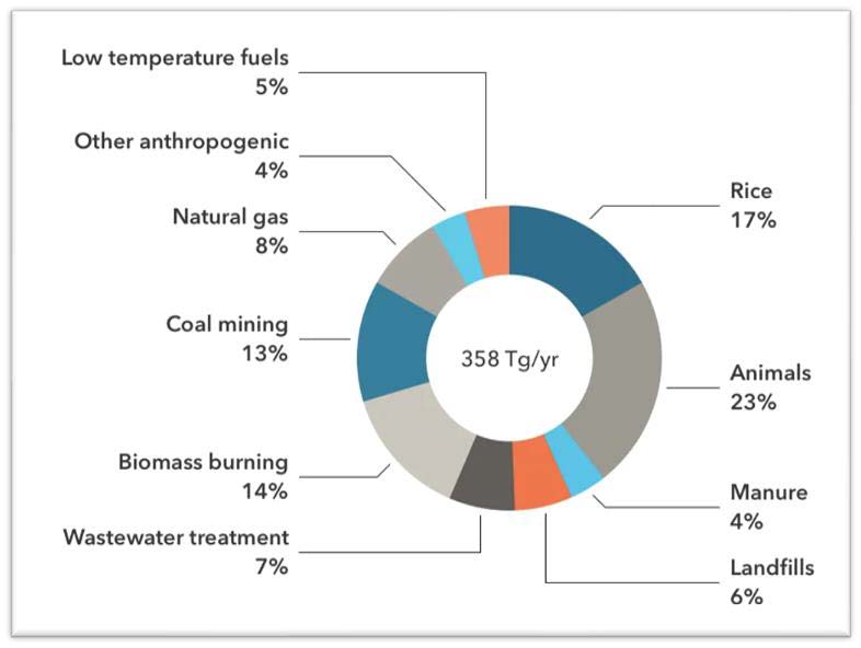
Sources of global methane emissions. © IPCC |