

SCOFrance
38Connected participants
Next quarterlyDecember 2023
Theme: Agriculture
Water: between stress and risk
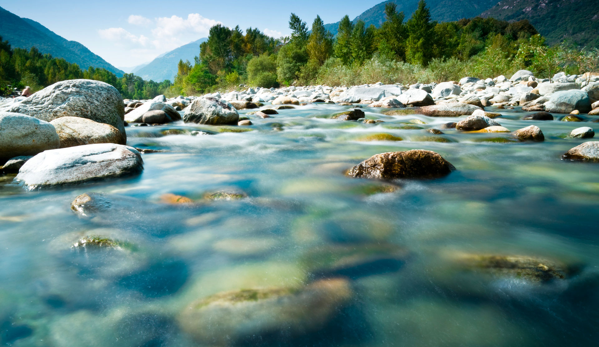
Used for domestic (drinking water) and economic (agriculture, industry, leisure) purposes, freshwater is an essential resource whose cycle is being altered by global warming.
Demonstrating the added value of satellite data in hydrology, three SCO projects presented their solutions on Friday 29 September 2023 at the 10th SCO France Quarterly Meeting, which you can watch again in the videos below. The event began with a presentation of the Hydroweb.Next platform, designed to facilitate the use and interpretation of hydrological spatial data. One name that came up frequently during the presentations was SWOT, satellite launched in December 2022. Currently in the calibration and validation phase, its unparalleled data accuracy is eagerly awaited by the entire hydrological community.
If you have any questions about this quarterly, write to us here.
Hydroweb.Next
By Nicolas Picot, CNES
Hydroweb.Next is a free portal whose GIS-format data is available under an open licence. It is designed to help you discover, work with, compare, visualize and download spatial and field data relating to hydrology.
To remember
- Hydroweb.Next offers space data and hydrological products from Theia produced within the framework of CNES. In addition, the platform retrieves Copernicus variables, in situ data and freely accessible model data, including some from the SCO project.
- Hydroweb.next provides 30 years of altimetric measurements of water levels in the world's major rivers and lakes.
- The platform also distributes 4 essential water variables derived from satellite data:
- Snow cover and fraction
- Water masks
- Water quality (chlorophyll, suspended matter, turbidity)
- Monthly and annual summaries of water occurrences and snow cover
- Already home to several systems developed as part of the SCO, Hyroweb.Next represents an opportunity to bring together projects dedicated to hydrology.
- Hydroweb.Next will be distributing hydro SWOT products from November 2023.
OpHySE
By Adrien Paris, Hydromatters
In some regions, such as French Guiana, rivers are still the main routes for traffic and trade, and people live on their banks. As Adrien Paris, leader of the SCO OpHySE project, explains, the SCO label enabled his team to create the first spatial hydrology demonstrator based on the real-time state of rivers.
To remember
- Online and freely accessible, the demonstrator operates in real time: https://sagui.hydro-matters.fr/sagui/
- Using colourful, intuitive cartography, the system displays the actual flow levels of Guiana's rivers, whether or not they have in situ measurement stations. In addition to its 10-day flow forecasts, it also incorporates a warning system.
- The model is based on two types of spatial data:
- Static data: vegetation cover and terrain model (for model construction)
- Dynamic data: rainfall and water levels
- The system has been designed in close collaboration with research laboratories to develop free and open methods: everything is open source and replicable.
FloodDAM-DT
By Raquel Rodriguez Suquet, CNES Lab’OT
Initiated by the FloodDAM project, this DT (Digital Twin) version aims to design an automated hydrology service using a digital twin of the terrestrial system based on the water cycle and focusing on floods. The project leader, Raquel Rodriguez Suquet, presents the steps and methods used to develop the processing chain in France and in the United States.
To remember
- FloodDAM-DT is a Franco-American collaboration (CNES/NASA) via a consortium of companies with complementary skills.
- Use of spatial data :
- Rapid mapping of the extent of flooding and flood monitoring
- Flood extent forecast and free surface elevation map
- Risk assessment and evaluation of socio-economic impacts
- The processing chain will be integrated into the Hydroweb.next platform in mid-2024.
BOSCO
By Laurent Longuevergne, University of Rennes-1
Implemented in Brittany (France), where water supply depends on surface water because of its geology, BOSCO is laying the foundations for a spatial observatory of soil water content. As Laurent Longuevergne, the project leader, explains, find out more about this remarkable service that links all water users.
To remember
- Open access and royalty-free, the project's map server is hosted on Geosas: https://geosas.fr/bosco/
- The system uses Sentinel-1 data for humidity measurements and Sentinel-2 data for vegetation conditions.
- The platform delivers relevant indicators for farmers and water managers:
- Surface moisture (top 5 cm of soil)
- Root water content (at a depth of one meter)
- Recharge or flow of water to the water table