14th meeting of SCO France
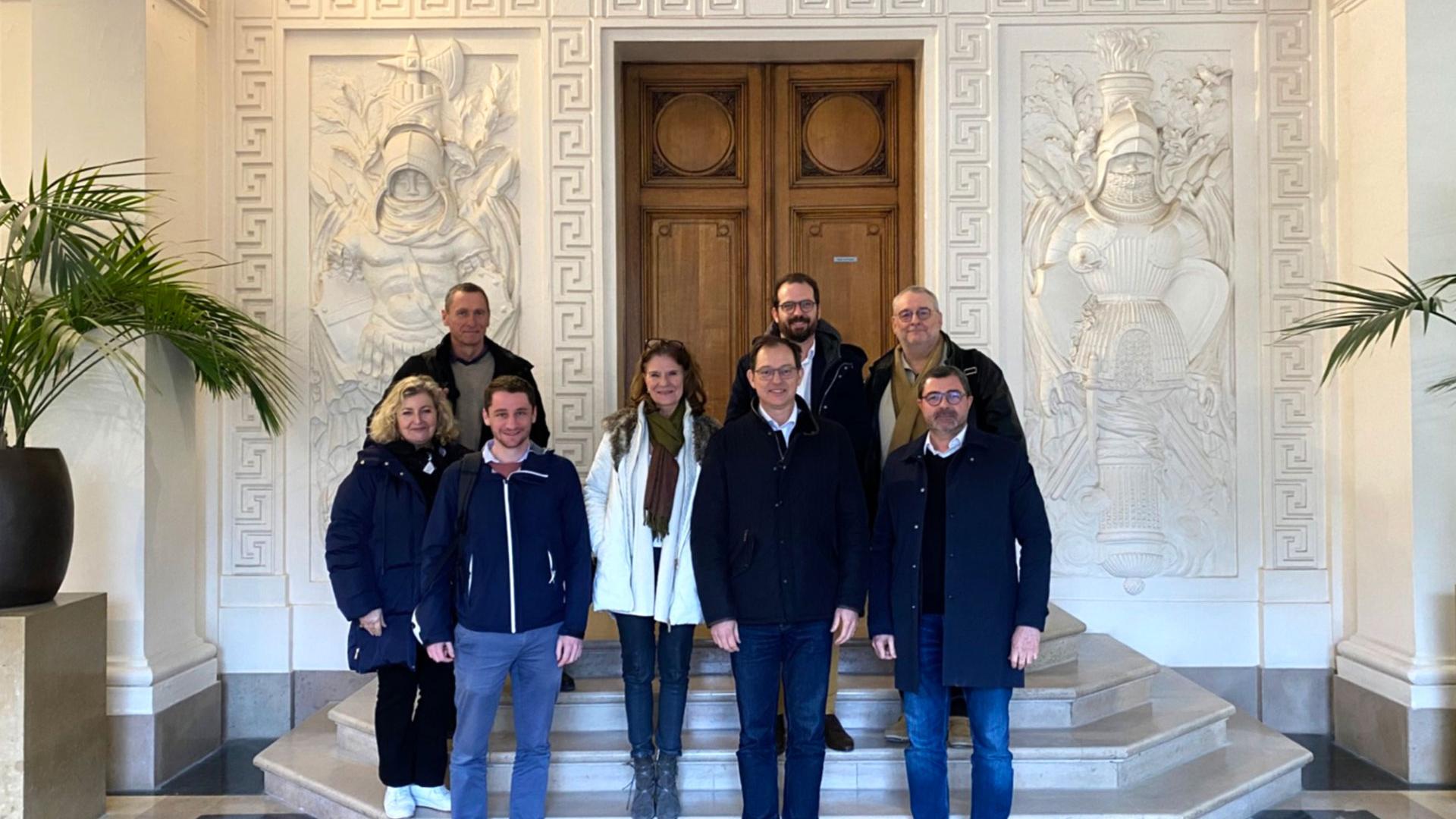
Six years after the creation of SCO France, the 14th Inter-Organization Committee (IOC) meeting held on Thursday 22 January 2026 marks a milestone: hosted by the Ministry of Higher Education, Research and Space (MESRE), this meeting is focused on reflection and the future.
Learn more ➔P4UF has automated satellite-based hydraulic modeling
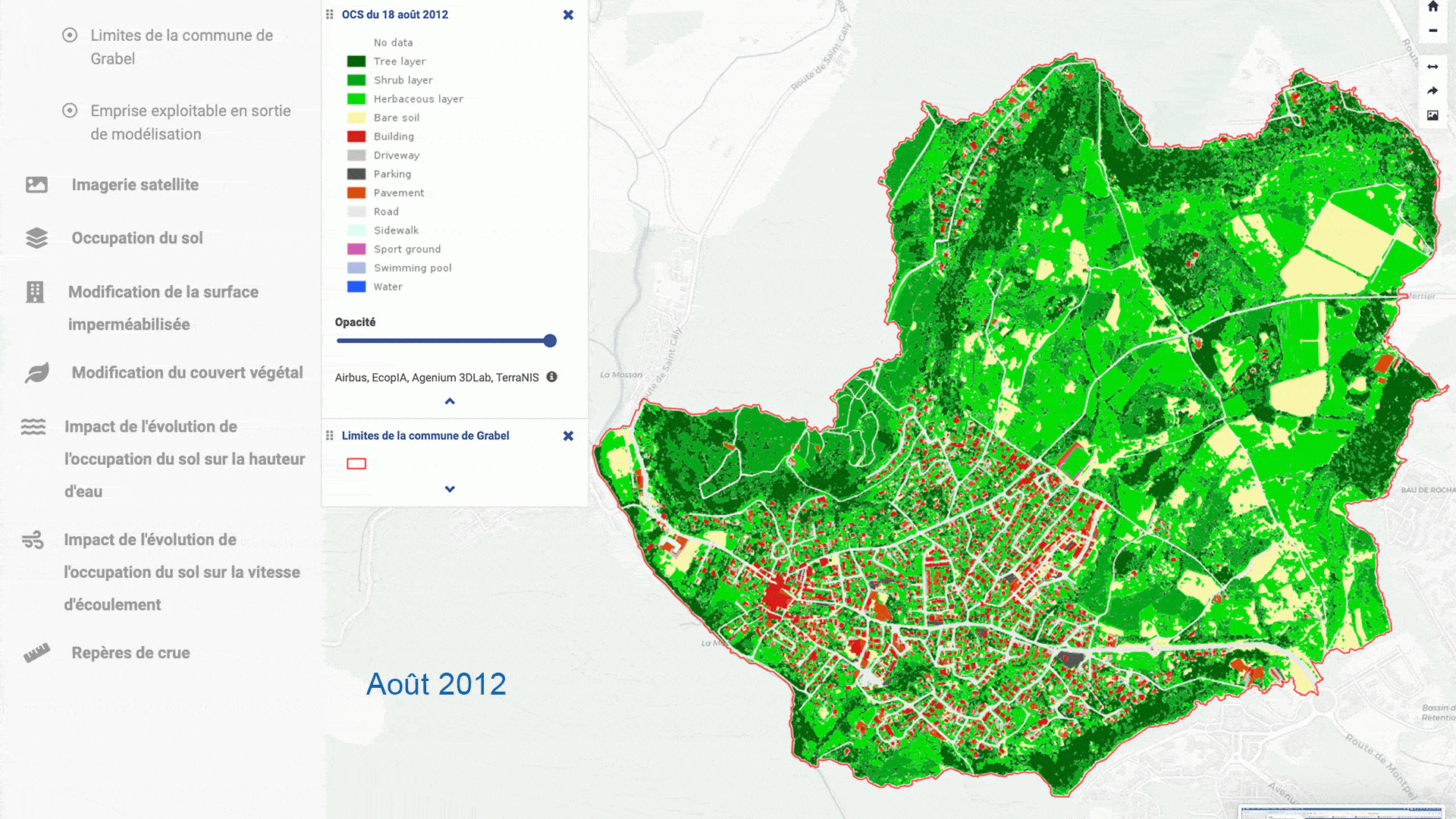
The project team kept its promise, as did Pléiades imaging: in November 2025, Pléaides4UrbanFlood (P4UF) launched an open mapping platform featuring all the results of its work. Here you can see the effectiveness of very high spatial resolution satellite imagery in automatically classifying land use and feeding it into the input data for hydraulic flood modelling.
Learn more ➔EO4Wetlands, a digital twin for wetlands
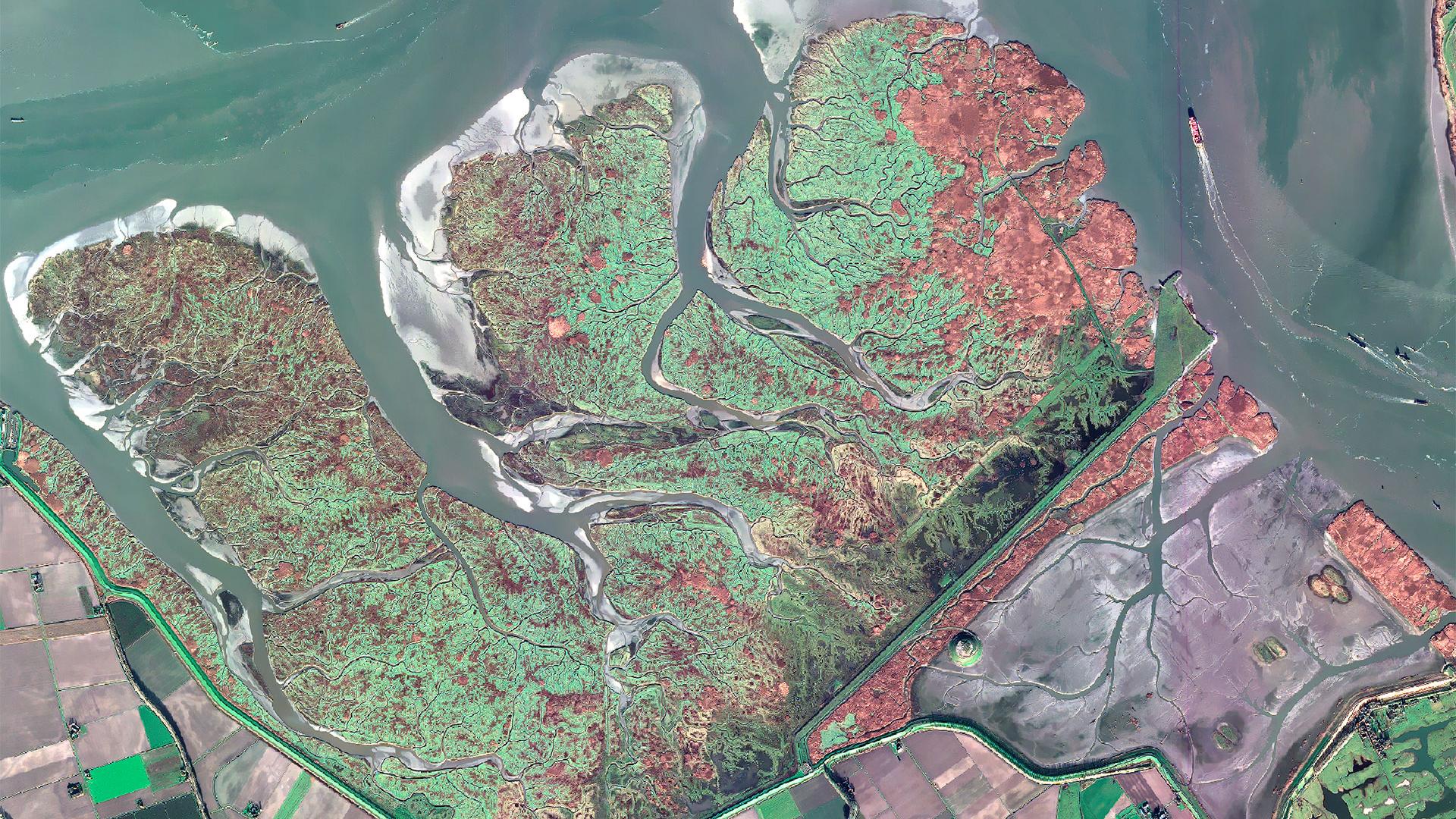
To restore the protective role of wetlands on coasts experiencing increasingly severe weather events, some polders are being returned to nature, such as the one on the border between the Netherlands and Belgium monitored by the EO4Wetlands project. Thanks to satellite data and its digital twin, EO4Wetlands tells the story of a return: that of the sea, the tides, the plants and life itself.
Learn more ➔2025: a solid and radiant year for the SCO
As the Paris Agreement celebrates its tenth anniversary, the SCO can look back with pride on its achievements: it has fulfilled its commitments and more. By consolidating its unifying role on the international stage and producing new formats for exchange, it has made 2025 a year of openness to all audiences.
Learn more ➔TerEcoData, an on-demand web service for monitoring ecological changes on land
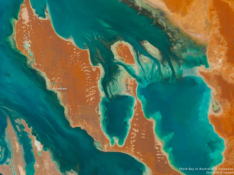
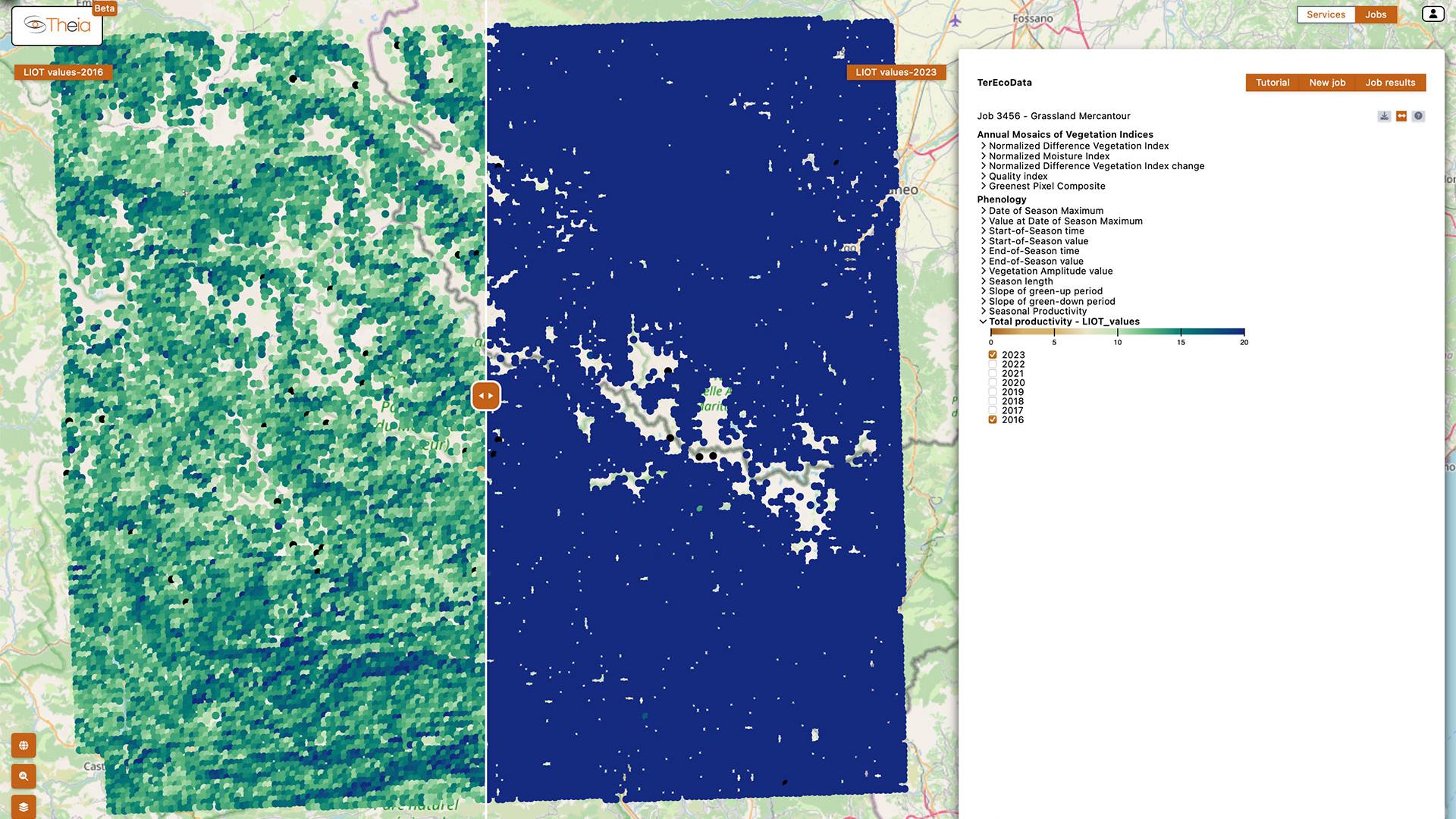
Are your grasslands remarkable? What is the state of biodiversity in your forest, and can its evolution be monitored over time? Developed as part of the SCO EO4MP project and hosted on Theia, TerEcoData offers field workers an advanced ecological monitoring solution using Sentinel-2 satellite data to track changes in landscapes and their biodiversity.
Learn more ➔Target 2050: building tomorrow's world today
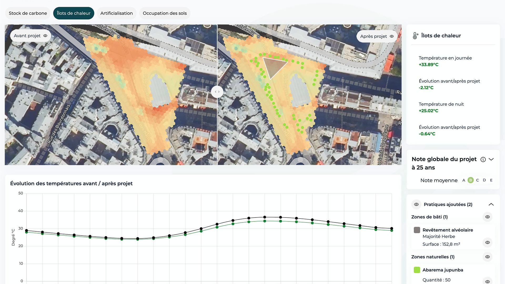
What if every development project became part of the French national climate plan? With Target 2050, Netcarbon helps local authorities design projects that are aligned with France's 2050 objectives: carbon neutrality, zero net artificialization and heat resilience. The key? Simulating projects and assigning them a clear and realistic climate performance rating. Definitely worth checking out.
Learn more ➔19th Quarterly Meeting of SCO France
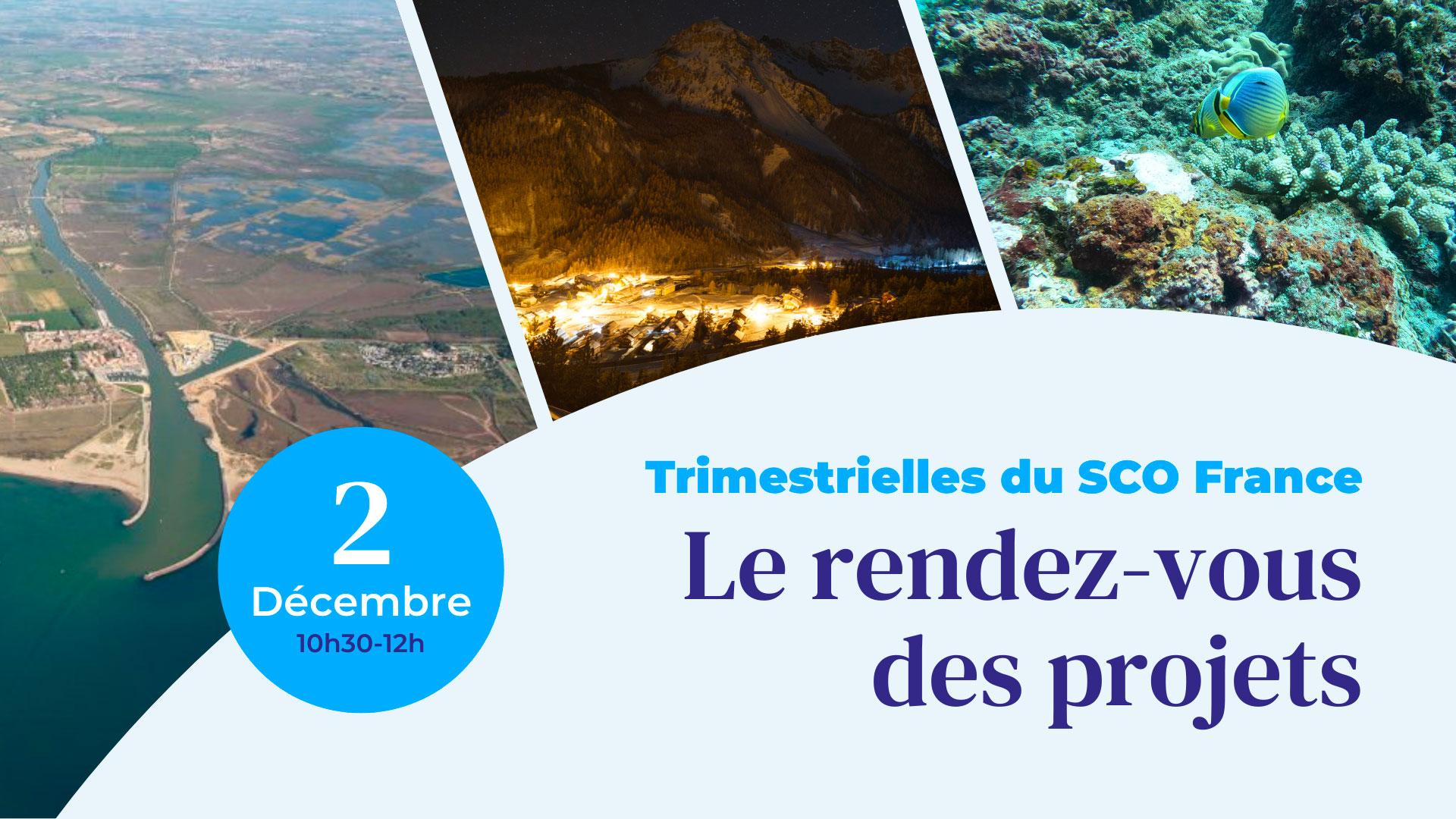
Quality of night-time lighting, resilience to alternating drought and runoff, preservation of coastal biodiversity: these are very different topics, but they all benefit from satellite data. On Tuesday 2 December 2025, during the 19th SCO France Quarterly Meeting, three SCO projects presented their space-based solutions to these major challenges.
Learn more ➔Thanks to SeSaM, Europe now has a tool for monitoring and forecasting sargassum
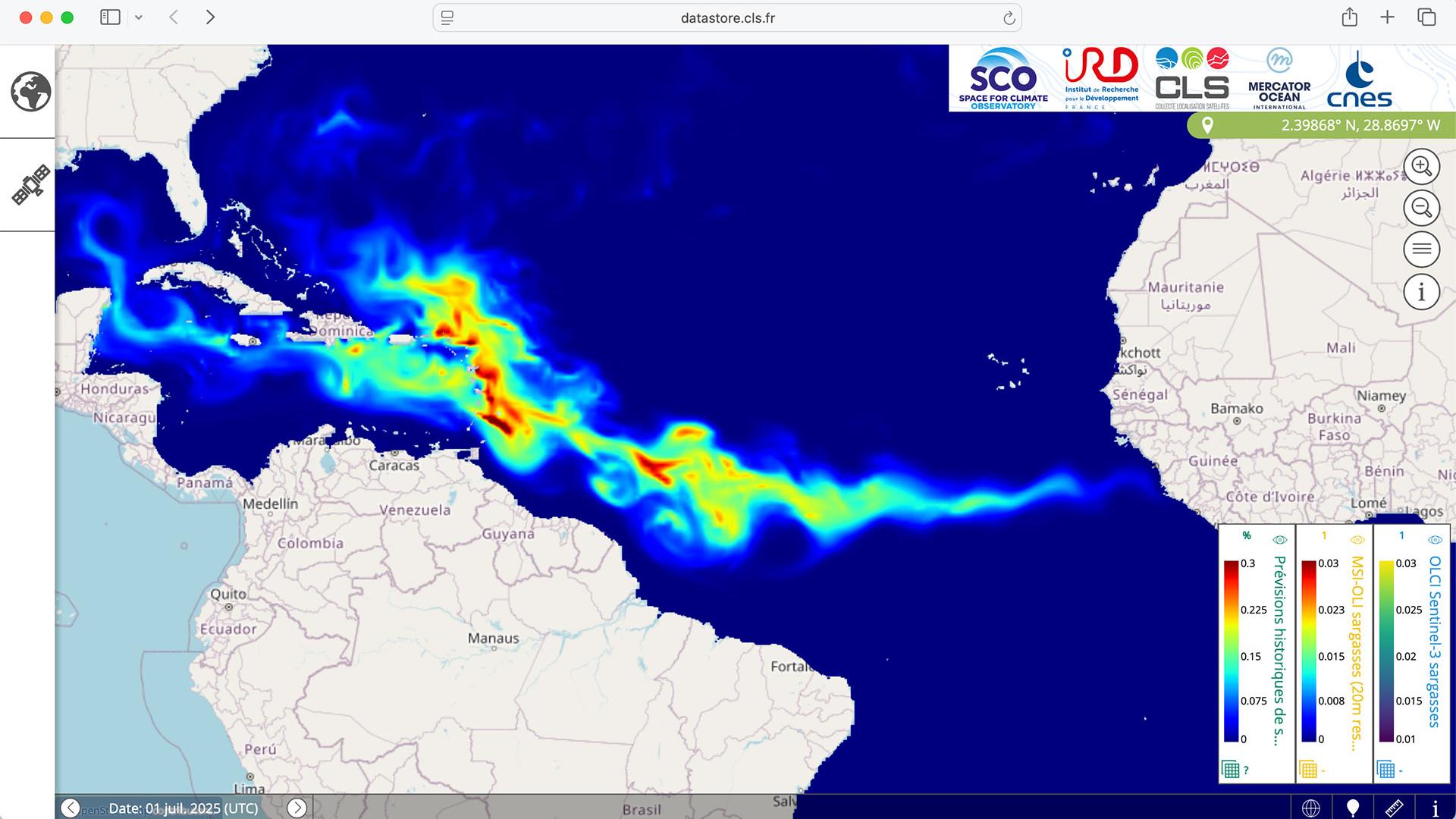
With global warming, Sargassum seaweed is becoming increasingly invasive. On both sides of the Atlantic, it is becoming necessary to monitor its huge banks and anticipate its strandings. Thanks to the support of the SCO, the SeSaM project partners have finalized a robust solution whose data is highly regarded by the Copernicus Marine Service.
Learn more ➔-
IOC 14
14th meeting of SCO France
Six years after the creation of SCO France, the 14th Inter-Organization Committee (IOC) meeting held on Thursday 22 January 2026 marks a milestone: hosted by the Ministry of Higher Education, Research and Space (MESRE), this meeting is focused on reflection and the future.
Learn more ➔Pléiades4UrbanFloodP4UF has automated satellite-based hydraulic modeling
The project team kept its promise, as did Pléiades imaging: in November 2025, Pléaides4UrbanFlood (P4UF) launched an open mapping platform featuring all the results of its work. Here you can see the effectiveness of very high spatial resolution satellite imagery in automatically classifying land use and feeding it into the input data for hydraulic flood modelling.
Learn more ➔EO4WetlandsEO4Wetlands, a digital twin for wetlands
To restore the protective role of wetlands on coasts experiencing increasingly severe weather events, some polders are being returned to nature, such as the one on the border between the Netherlands and Belgium monitored by the EO4Wetlands project. Thanks to satellite data and its digital twin, EO4Wetlands tells the story of a return: that of the sea, the tides, the plants and life itself.
Learn more ➔2025 Report2025: a solid and radiant year for the SCO
As the Paris Agreement celebrates its tenth anniversary, the SCO can look back with pride on its achievements: it has fulfilled its commitments and more. By consolidating its unifying role on the international stage and producing new formats for exchange, it has made 2025 a year of openness to all audiences.
Learn more ➔EO4MPTerEcoData, an on-demand web service for monitoring ecological changes on land
Are your grasslands remarkable? What is the state of biodiversity in your forest, and can its evolution be monitored over time? Developed as part of the SCO EO4MP project and hosted on Theia, TerEcoData offers field workers an advanced ecological monitoring solution using Sentinel-2 satellite data to track changes in landscapes and their biodiversity.
Learn more ➔Target 2050Target 2050: building tomorrow's world today
What if every development project became part of the French national climate plan? With Target 2050, Netcarbon helps local authorities design projects that are aligned with France's 2050 objectives: carbon neutrality, zero net artificialization and heat resilience. The key? Simulating projects and assigning them a clear and realistic climate performance rating. Definitely worth checking out.
Learn more ➔Quarterly 1919th Quarterly Meeting of SCO France
Quality of night-time lighting, resilience to alternating drought and runoff, preservation of coastal biodiversity: these are very different topics, but they all benefit from satellite data. On Tuesday 2 December 2025, during the 19th SCO France Quarterly Meeting, three SCO projects presented their space-based solutions to these major challenges.
Learn more ➔SeSaMThanks to SeSaM, Europe now has a tool for monitoring and forecasting sargassum
With global warming, Sargassum seaweed is becoming increasingly invasive. On both sides of the Atlantic, it is becoming necessary to monitor its huge banks and anticipate its strandings. Thanks to the support of the SCO, the SeSaM project partners have finalized a robust solution whose data is highly regarded by the Copernicus Marine Service.
Learn more ➔


