

Water management and territorial vulnerability
To maintain ecosystems, to drink, to water, to cook, to wash, to produce... Water is THE essential resource for life on Earth and for the functioning of our societies. But subject to climatic and antropic pressures, whether fresh or salt water, it is becoming scarce here, too abundant there, and even dangerous along the coasts.
On Thursday 7 April 2022, three SCO projects presented their work: all of them use space data to develop methods for automating water monitoring and management systems by correlating territorial vulnerability indices.
Stock Water
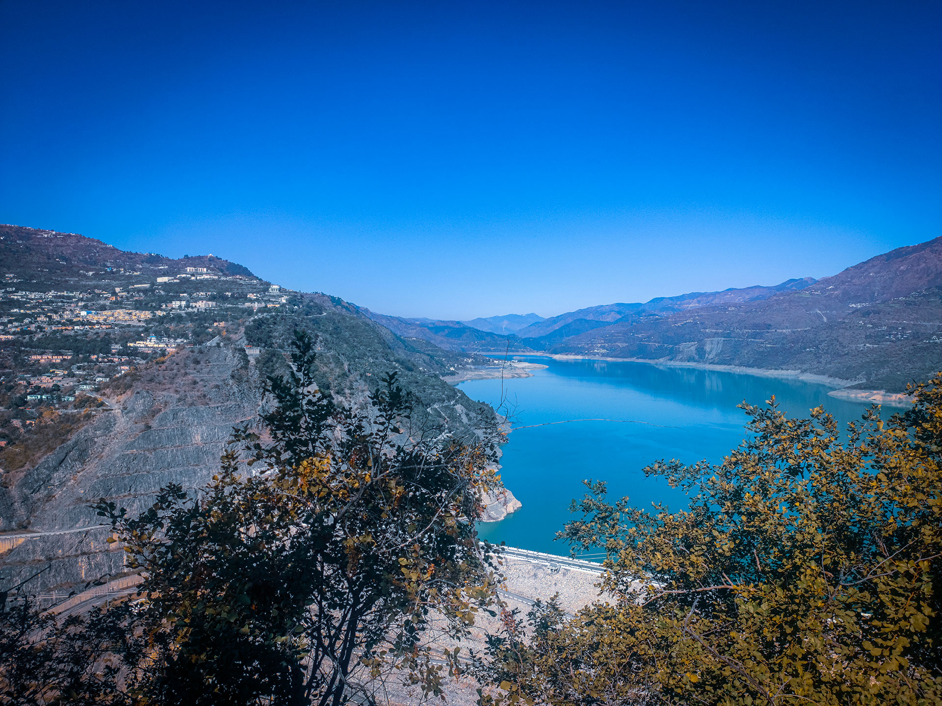
What are the real volumes of fresh water available in real time in the world's dams? This information, which is remarkably complex to calculate, is the focus of the Stock Water project, which is being carried out and presented by Santiago Pena Luque, a CNES engineer and expert in satellite image processing for hydrology applications.
To remember
- The method consists of determining the water surface of the dams using Sentinel-1 and 2 optical and radar imagery, then estimating the bathymetry using Digital Terrain Models derived from satellite information, and finally combining these results to obtain the water volume and filling rate of each dam.
- Produced by Copernicus and freely available, digital surface and terrain models derived from space observations are proving to be effective in estimating the bathymetry of dams, the dimensions of which are only known for the most recent ones.
- 50 dams evaluated in phase 1 (France, Andalusia, India) and as many in phase 2 (Burkina Faso, Tunisia, Laos, Brazil)
- The demonstrators developed in Occitania (France) and in Spain offer an uncertainty of less than 15% on the filling rates.
- The aim is to have an operational broadcasting server by September 2022.
- This work will be improved with the use of more accurate DTMs from Co3D, opening the door to the estimation of small reservoir volumes.
OSS Saint Louis
Presented by Benoit Laignel, coastal zone specialist at the University of Rouen Normandy, OSS Saint Louis offers a good demonstration of how to use satellite data to analyse the evolution of the coastline and estimate the vulnerability of populations and infrastructures to sea level rise and storms.
To remember
- Project tested in Senegal, whose coastline is representative for the whole of West Africa.
- Combining optical satellite imagery, spatial altimetry, in situ data and modelling, the project makes it possible to monitor the evolution of the coastline and to define a coastal vulnerability index to erosion and flooding.
- The evolution of the coastline, traced from 1984 to 2021, shows a contrast between the eroding north and the accreting south.
- Using high-resolution Pleiades data, from which digital elevation models and land use maps are derived, the system simulates marine flooding scenarios according to sea level rise, with and without storms.
- The project has also identified critical infrastructure in the area that needs to be monitored in particular.
ECLAT
Supported by CLS and presented today by Santiago Pena Luque, who accompanied the project for CNES, ECLAT focuses on the Lake Chad region, where climatic pressures are aggravating the conflict situations that are already prevalent in the area, as well as on the wetlands of two natural parks in Niger and Senegal.
To remember
- Project objective: to automate a robust methodology based on spatial data to generate land use maps and indicators to assess the interactions between climate change, population pressure and natural resources.
- This method is based firstly on an extensive analysis of existing databases using photo interpretation to identify the best maps and data layers.
- The land use maps generated and combined with satellite time series allowed the development of 3 indicators relevant to the users, represented by the African Union and the Centre de Suivi Ecologique de Dakar:
- Monitoring the Lake Chad region and water resources ;
- Monitoring of seasonal agricultural practices with regard to salinisation (especially in Senegal) and crop rotation;
- Monitoring urban sprawl to analyse its impact on water areas (health and flood risk) and populations (risk of over-densification).