

20th Quarterly Meeting of SCO France
On our blue planet, saltwater covers 71% of the globe, and every day a little more, while fresh water, which is increasingly in demand, represents barely 3% of all water...
|
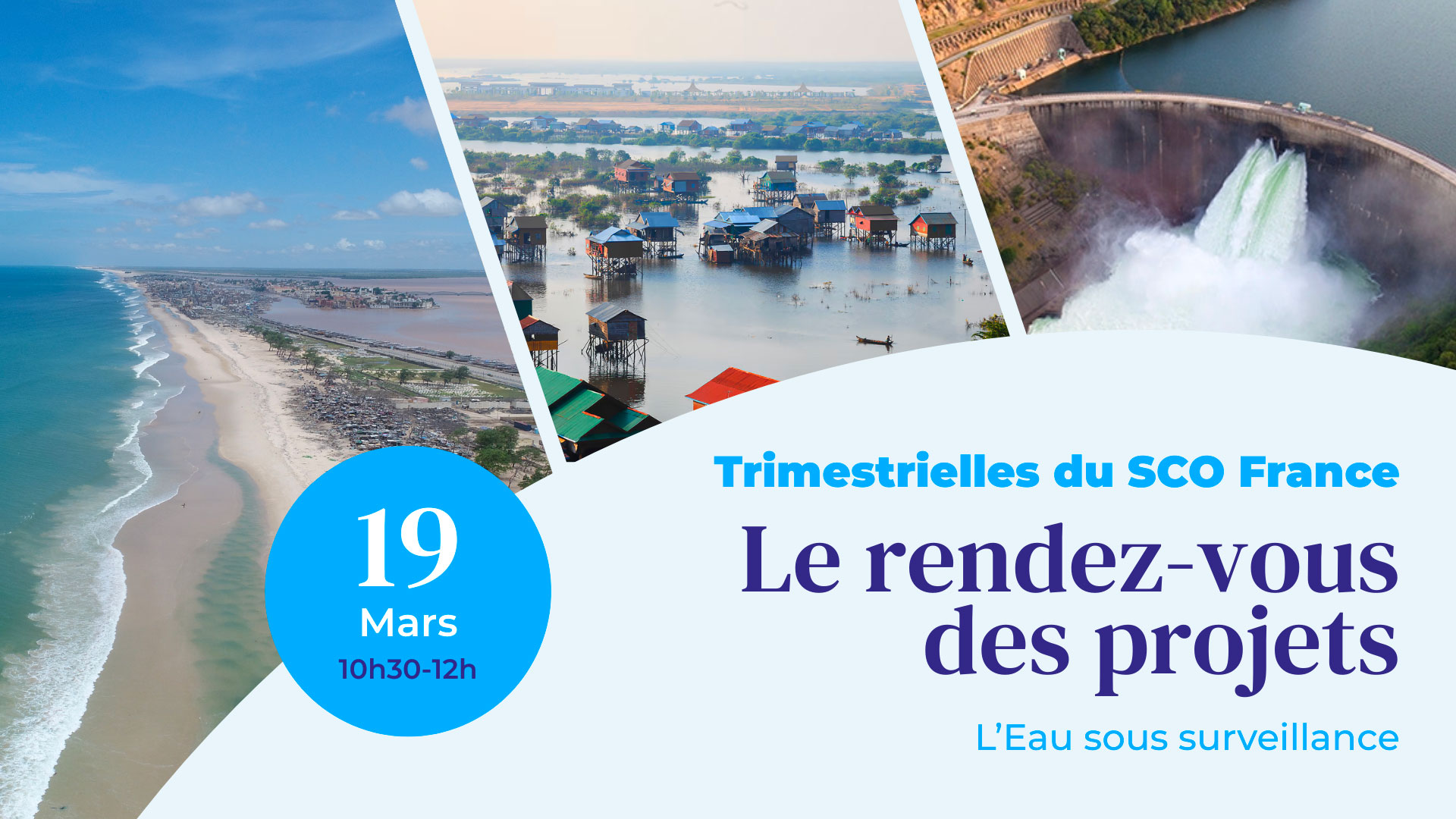
On Thursday 19 March 2026, during the 20th SCO France Quarterly Meeting, three SCO projects demonstrated how they are using satellite data to reduce the vulnerability of African coastlines and improve water resource management. |
To receive invitations to the quarterly events in your inbox and have them automatically added to your calendar, sign up HERE! |
Preamble : HydroScopia, the French platform for exploiting satellite hydrological data for regional water management.
By Emeric LAVERGNE (CNES)
|
Drawing on several projects, some of which were previously supported by the SCO, the operational demonstrator developed as part of France 2030 aggregates various satellite data to support national public water management policies. A dashboard featuring a cartographic interface, the tool enables the monitoring of water bodies > 1 ha in quantitative terms (area, volume), qualitative terms (temperature, chlorophyll, transparency, etc.) and agricultural use (monitoring of irrigated/non-irrigated plots and vegetation cover). |
|
By Julien Deloffre (Université de Rouen) and Issa Sakho (Litto3D)
|
Coastal areas in West Africa are vulnerable to rising sea levels, threatening populations, biodiversity, infrastructure and the economy. The ALISE project is developing a multi-risk vulnerability index based on satellite data and a web-GIS platform which, intended for managers, will serve as a decision-support tool for coastal risk management in Senegal. |
|
To remember
- Satellites used: Landsat, Sentinel, Pleiades, SWOT
- These data are particularly important for ‘reconstructing’ and modelling the land/sea interface as well as the transitional zone of rivers where marine and continental waters mix.
- The tool provides two composite indicators tailored to the needs of coastal zone managers:
- The CVI coastal vulnerability index (coastal line advance or retreat).
- The FVI flood index associated with a single event or a combination of events (such as a storm during a flood period).
- Currently under development, the mapping platform allows users, amongst other things, to visualize all coastlines extracted from satellite imagery from 2000 to 2024, with the option to compare changes between two periods. This is a very useful feature, particularly at a local level, for assessing the effectiveness of coastal protection infrastructure such as a sea wall.
- The platform is freely accessible, so you can already test the demo and share your experience with the project team: https://coast-gis.litto3d.sn
💡 ALISE validates SWOT for microtidal hydrodynamic modelling – 21 October 2025
By Renaud Hostache (IRD)
|
Whilst water shapes landscapes, sustains societies and supports life, surface waters are undergoing unprecedented upheaval. The CASCADES project automates satellite data processing chains to provide maps and products relating to surface water (lakes, rivers, floodplains, etc.), thereby enabling a better understanding of water availability. |
|
To remember
- Satellites used: Sentinel-1 and 2 to continuously map water bodies. Copernicus DEM data is overlaid onto these images to estimate water levels.
- Currently under development, the platform will present the results in the form of maps, including:
- Flood frequency.
- Permanent water bodies and exclusion zones (where satellite data cannot detect water bodies due to overly dense urban or forest cover).
- Led by an international consortium across six pilot territories in Asia, Africa and the Americas, the tool is designed to be easily transferable.
- Don’t miss the clear, visual explanation of the method in the replay!
By Adrien Paris (HydroMatters)
|
An offshoot of the SCO OpHySE project, MoCha is building a platform for forecasting extreme hydro-climatic events and supporting decision-making. The project draws inspiration from the warning platform deployed in French Guiana, adapting it to the river basins along the African coast bordering the Mozambique Channel, where populations rely heavily on water resources. |
|
To remember
- Satellites used:
- GPM real-time precipitation data.
- Sentinel-3 and 6 (soon to be SWOT) for river altimetry.
- Sentinel-1 and 2 for observing flooded areas.
- These satellite data play three crucial roles: driving and improving the hydrological and hydrodynamic model, and supplementing in situ data in ungauged areas.
- Like the SAGUI mapping platform developed as part of SCO OpHySE, the MoCha platform will be freely accessible and will provide, via a streamlined interface:
- real-time flow rates and water levels.
- hydrometeorological indicators defined in consultation with key users.
- 5- to 10-day forecasts of river flow trends.
- The method is being rolled out in Central Asia via the SCO CAHYSPA project, with the implementation of new research modules, including snow.
💡 OpHySE delivers its platform for real-time hydrological monitoring of Guyanese rivers – 19 July 2023
------------
🤝 These webinars are open to everyone. Launched in June 2021, SCO France’s Quarterly meetings are regular events designed to engage the community and enable each project to showcase its progress, inspire others and create synergies.
Since July 2025, ClimateSCOpes has been organising similar events for international projects, with two webinars a year.