

SCOFrance
3 projectsAirCrowd
Next Quarterly 17 September 2026
❗️Live from GeoDataDays
21st SCO France Quarterly Meeting
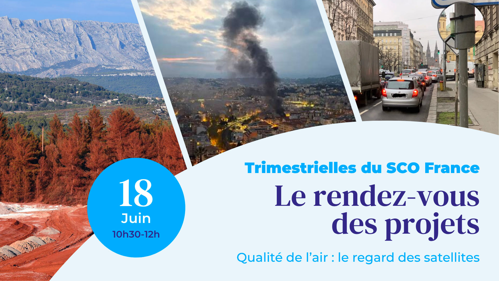
Air pollution is now recognized as the leading risk factor for death worldwide. Invisible, or almost so, it is a phenomenon that is all the more complex to tackle given its two-way relationship with climate change: most sources of air pollution contribute to greenhouse gases. In this context, how can local authorities take action to improve air quality? Thanks to satellites!
On Thursday 18 June 2026, during the 21st SCO France Quarterly Meeting, three SCO projects presented their various approaches to measuring, characterizing and forecasting air pollution using satellite data.
🤝 All are very specifically geared towards supporting local authorities that need accurate and up-to-date data to meet climate action plans and citizens' expectations.
🛰️ It is worth noting that the space sector is set to expand considerably in the coming years in terms of atmospheric missions.
Preamble: presentation of AERIS, the French National Centre for Atmospheric Data and Services
by Sébastien PAYAN, Director of the AERIS division
| As part of the Data Terra research infrastructure, AERIS collects, hosts and distributes a wide variety of atmospheric data, including satellite data. It also provides tools and services for the and utilization of this data, as well as its scientific expertise in the field of atmospheric science. |
AirCrowd, Monitoring air quality using health risk indices
By Guillaume Dubrasquet-Duval (Diginove) and Lucas Heinry (AtmoSud)
| Through a participatory approach, AirCrowd is developing an innovative, low-cost solution to measure air quality in urban areas by combining satellite data with ground-based data from a network of micro-stations built on-site (FabLAB) and designed to be repairable. The demonstrator is being implemented in Nice with the ultimate aim of rolling out the solution to countries in the Global South. |
To remember
- Satellites used: Sentinel-5P, ERA5, DEM (GLO360), Sentinel-2 (Land Use, NDVI), OSM data
- Spatial and temporal information is extracted from this data, as well as socio-economic data (road network and human activities).
- To collect ground-level measurements – essential field data for training the model – the project deploys low-cost, easily deployable and autonomous (solar-powered) microsensors.
- The project implements two online platforms:
- “OpenAirMap” to visualize high-resolution maps of ground-level PM10 estimates, as well as hourly (h+1 to h+6) and daily (j+1 and j+2) forecast maps;
- “ScenAirCrowd” to simulate different emission scenarios and assess their impact on air quality.
The platforms will be available upon completion of the project in mid-2027.
EDISON, Improving the inventory of atmospheric emissions
By Arnaud Dedieu (WaltR)
EDISON provides an improved and operational inventory of greenhouse gas and pollutant emissions using Sentinel data. Via a dynamic mapping interface, the tool enables local authorities to identify hotspots, track emissions by sector of activity, and even generate forecasts for NO₂ and PM₂.₅. |
To remember
- Satellites used: Sentinel-3 and 5P for aerosol and pollutant measurements, ERA 5 for wind parameters at 10 meters, and EGNSS for georeferencing. This is supplemented by socio-economic data, including road traffic.
- The project aims to provide dynamic inventories using up-to-date data to keep pace with policy timelines.
- Available on request, a beta version of the platform allows users to:
- Visualize hourly emissions maps, providing a precise and localized view of pollution sources;
- Locate and monitor major emission sources;
- Compare performance between regions and monitor changes in hotspots;
- Develop action plans by varying input parameters using socio-economic data provided by the region.
- The method is transferable and has already been extended to Abidjan, Berlin and Kavala, near Athens.
FLORIA, Monitoring air pollution through the synergy of OT & AI
By Laure Chaumat (Thales)
FLORIA has enabled the roll-out of an operational service producing maps of PM₁₀ concentrations across Europe, with PM₁₀ serving as a key indicator of air pollution. The solution is particularly effective at providing data for areas with few or no in-situ monitoring stations. |
To remember
- Satellite data used: Sentinel-3 Aerosol Optical Depth, Sentinel-2 surface temperature and ESA WorldCover land cover.
- Thanks to its fully automated workflow, FLORIA produces daily PM10 maps for Europe.
- A case study conducted in the Czech Republic on the impact of road traffic density on air quality shows a very strong correlation between FLORIA’s results and ground-based measurements, confirming a promising approach for transport policy.
- Available on request, FLORIA is already working to expand its catalogue to include other pollutants and to maximize the spatio-temporal resolution of its results through multi-sensor data fusion and the integration of data from future satellites.
💡 FLORIA: How to read the air we breathe – News item dated 21 April 2026
------------
🤝 The ‘Quarterlies’ webinars are open to everyone, a regular event designed to engage the community and enable each project to showcase its progress, inspire others and create synergies.
Since July 2025, ClimateSCOpes have been organizing similar events for international projects, with two webinars held each year.