


Coming soon: the 22nd Quarterly Meeting, live from the GDDs
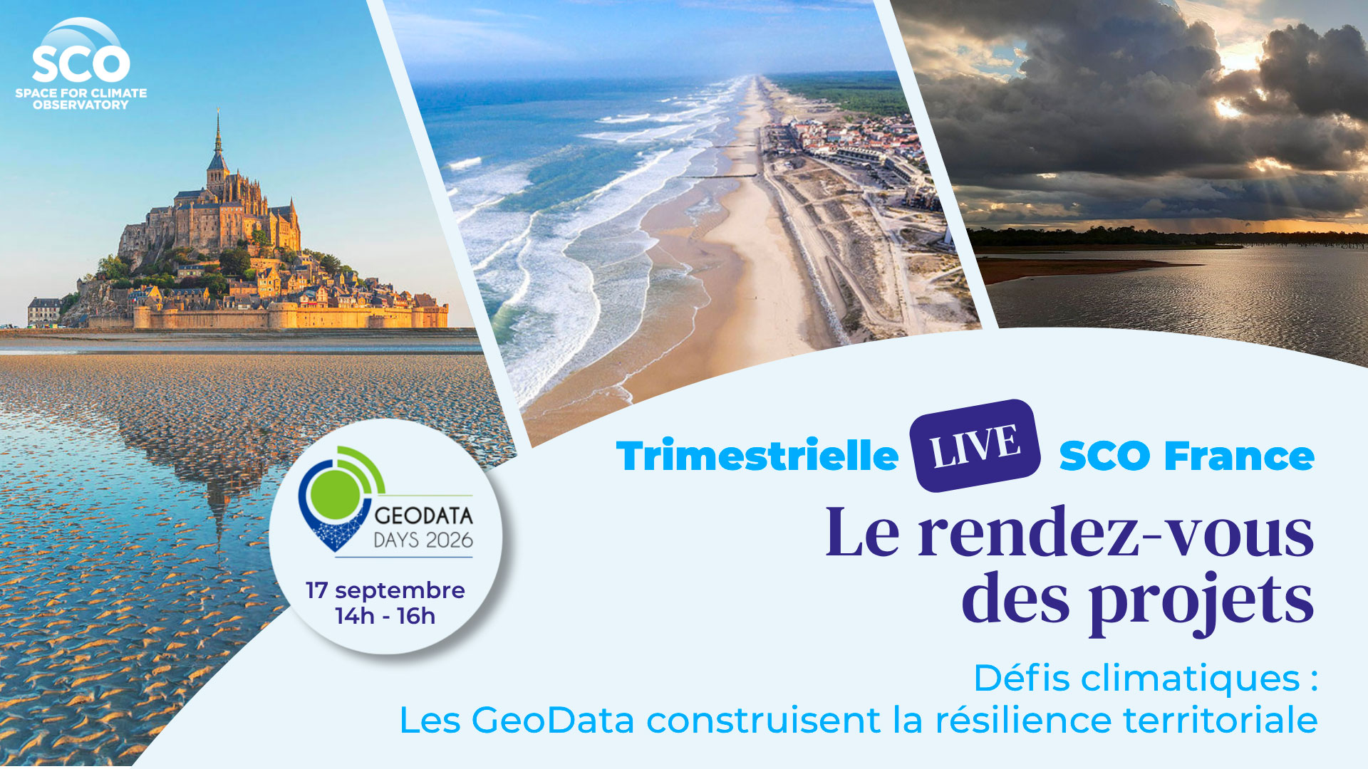
The climate has been shaping landscapes for millennia. From vanished seas to newly submerged areas, the land-sea relationship is evolving significantly, making the coastline a true geographical indicator. Whilst the ongoing upheavals are undermining ecosystems and resources, territorial resilience is built by understanding past events, modelling current environments and proposing simulations of future developments.
To achieve these feats, which can inform decision-making and public policies on adaptation, the key lies in ‘geodata’ – digital geographical data (and therefore geolocated) – whose potential is highlighted every year in France at the GeoDataDays (GDDs). Having participated in this event since 2023 – which naturally brings together a large number of French stakeholders from SCO France – the organization is seizing the opportunity to broadcast its September Quarterly Meeting live from the GeoDataDays 2026.
Join us for the 22nd SCO France Quarterly
Thursday 17 September 2026 from 2 pm to 4 pm at the GDDs
🛜 Watch the live stream on the SCO’s YouTube channel
📍If you’re attending in person, Room 200 at the Palais des Congrès in Tours
The session will address coastal challenges through three SCO projects – EO4InterTopo, SCOast-DT and VOQUALISE – which use satellite data, followed by a round-table discussion moderated by Célie Losada, SCO project manager at CNES.
EO4InterTopo with Edward SALAMEH from the CNRS
At the land–sea interface, intertidal zones act as vital natural buffers for the protection of coastal regions. By using optical and radar satellite imagery, EO4Intertopo maps the morphological changes in Normandy’s intertidal zones to contribute to the effective management and conservation of these critical ecosystems. A freely accessible web interface has recently been launched, allowing users to view the results.
💡 EO4Intertopo: 800 km²of the Normandy foreshore monitored from space – 24 August 2026
SCOast-DT with Yannick TANGUY from CNES Lab’OT
This project focuses on the study and adaptation of coastal zones in the context of climate change, using digital twin technologies combined with Earth observation. The creation of these coastal digital twins across different areas facilitates the development of a large-scale, dynamic tool capable of simulating climate change scenarios for a range of extreme events (coastal flooding, coastal erosion, etc.).
VOQUALISE with Manuela GRIPPA from IRD/GET
This project aims to support water resource management in West Africa, particularly in the Kayanga-Anambé basin in Senegal. It is developing a web-based platform capable of quantifying water stocks in reservoirs, estimating water quality parameters and characterizing water uses. Using satellite and in-situ data, the tool aims to assess the current situation and explore scenarios for future developments in the context of climate change.
💡 VOQUALISE, mission report from Upper Casamance – 13 May 2026
🤝 The Quarterly Meetings are open to everyone – please share this invitation with your network!
------------
Launched in June 2021, SCO France’s ‘Trimestrielles’ are regular events designed to engage the community and enable each project to showcase its progress, inspire others and create synergies.
🎥 You can watch replays of previous quarterly meetings here.
✍️ Sign up here to automatically receive invitations to the quarterly meet-ups in your inbox.