

SCOFrance
44Connected participants
Next Quarterly meetingMarch 23, 2023
Theme: Risk prevention
SCO in the Pacific & Indian Oceans
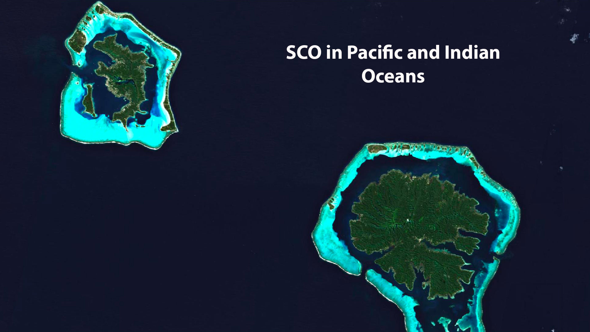
Pacific and Indian Oceans, respectively the first and third largest on our planet, cover more than 235 million km2 , or about 65% of the world ocean surface. And if the Pacific Ocean received its name from the navigator Magellan because of its very calm waters, climate change is now disrupting the balance of the territories it shelters, just like in the neighboring Indian Ocean.
To anticipate droughts, preserve the remarkable ecosystems of this part of the planet and reduce the vulnerability of the populations living there, satellite data offer more than one advantage. Three projects presented their methods on Tuesday, December 6th, 2022 during the 7th SCO France Quarterly Meeting, which you can relive in videos below (in French).
If you have any questions about this quarterly, write to us here.
1TAHATAI
Particularly vulnerable to climatic hazards, Polynesian coastal zone is a privileged place for exchanges between land and sea, where numerous uses converge. Led by Rémi Andreoli, director of space applications at Bluecham, TAHATAI project aims to help better plan the competing uses of French Polynesia's maritime domain to preserve biodiversity and blue economy. Its credo: see the past, follow the present and anticipate the future.
To remember
- Currently under development, the online platform delivers two indicators particularly affected by climate change and essential for marine spatial planning: lagoon water quality, which affects the lives of local populations and tourism activity, and the phytoplankton bloom explosion, which affects bathing water quality and pearl production.
- Indicators were created to qualify the pressure of human activities on the lagoon and the coast by identifying mobiles (boats and ships) present in the area, and changes in land use that affect the coastline, including embankments, traditional in Polynesia.
- In addition to Sentinel-1 satellite data (radar), an algorithm applied to the Sentinel-2 data (optical) increases their resolution to 2.5 m (instead of 10 m), which allows the identification of all boats, even small ones. The system also collects Copernicus Marine Service and Atmospheric Monitoring Services data.
- The project team creates tutorials for users who are not experts in handling all this data, to understand what data is available in the platform, what tools are available to them and how to use them to get the maximum benefit.
2EO4DroughtMonitoring
Every year, New Caledonia is plagued by a more or less long period without substantial rainfall, with multiple consequences on, at a minimum, agriculture, biodiversity and water resources. Explained by Mathis Neuhauser, research engineer for InSight, the EO4DroughtMonitoring project has developed a tool for monitoring and anticipating plant drought in New Caledonia.
To remember
- The online tool was developed in close collaboration with its end-user, Rural Agency of New Caledonia, which is in charge of compensating farmers in case of severe drought.
- Combining several types of Earth observation data (vegetation, surface and soil moisture) and data from New Caledonia's Météo-France stations, the system calculates two main indicators: the current vegetation drought and the probable trend of this drought over one to three months, by commune.
- The team has established links with other projects to deploy its tool in other areas of Pacific and to industrialize the developments thus achieved.
- Exchanges are also underway with the SCO MEO-Climate project, and particularly their detection of irrigated areas (in Metropolitan France), to combine their products into a tool as generic as possible and applicable to all territories experiencing water stress that require water use optimization.
3Mangroves
Mangrove forests are incredibly resilient and constitute a bulwark between land and sea that shelters a remarkable biodiversity and provides countless ecosystem services to local populations. However, between climatic and anthropic pressures, their surfaces are seriously and rapidly decreasing. Presented by Elodie Blanchard, an ecologist at IRD, Mangroves project implements a satellite monitoring platform for these ecosystems that urgently need to be protected.
To remember
- Objective: to set up an automatic monitoring system for mangroves around the world using Sentinel-2 satellite data, updated every five days.
- The online tool, named MangMap, will allow to visualize in near real time the evolution of mangroves and will produce, each quarter, a vector of mangrove outline allowing to see easily losses or gains of surface.
- The tool also provides access to 11 indices derived from satellite data because they characterize this environment (humidity, land use, etc.).
- Currently being qualified on 16 pilot sites, MangMap will soon be available to all. All products are free and downloadable.