

SCOInternational
34SCO signatory members to date
57Labelled projects
Key words2022, Charter, partnerships, operational services, demonstrators
The 2022 outcome opens up good prospects for 2023
A better and better structured network
Presented at the end of June for the three years of the SCO and effective September 1st 2022, the SCO founding Charter has already been signed by 34 members at the end of the year. Other signatures are expected.
To promote SCO, invite partners to join it and identify the needs in terms of decision support tools face to climate change, SCO participated in 2022 in major international events such as COP27 or the International Astronautical Congress IAC.
For 2023, SCO is setting up international working groups to structure calls for projects on this global scale, strengthen existing partnerships and seal new ones.
5 operational services delivered
SCO approach is working, as shown by the delivery of operational tools resulting from certified projects:
- FORO, developed by the FLAude project, for a better resilience to floods due to Mediterranean episodes;
- Arbocarto-V2, to anticipate risks of epidemics of diseases carried by mosquitoes;
- EO4DroughtMonitoring to anticipate droughts in New Caledonia;
- MEO-Climate to accompany the rural world in its transformation;
- SCOLive, an application for mapping and monitoring olive trees, already available on the stores.
Other tools are expected in 2023, notably for real-time monitoring of mangroves as well as for the state of rivers (flow and navigability).
5 online demonstrators
Several demonstrators, more or less completed because they are still under development, give an idea of the powerful tools that will be delivered, for the most part in 2023:
- Tropisco, which provides near-real-time monitoring of tropical deforestation in its seven pilot territories and which is working to automate its tool on a global scale;
- BandSOS, a preliminary version of a flood risk simulator, especially cyclonic, in the Bengal delta;
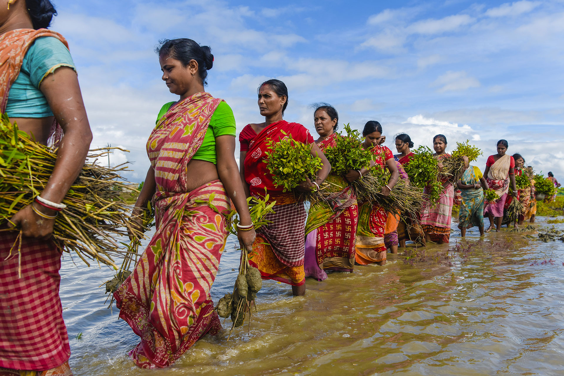
- VietSCO, which provides rice cultivation and flood maps derived from Sentinel-1 images in the Mekong Delta;
- Sat4Health, an evolution of the LeptoYangon demonstrator, shows the potential of remotely sensed climate and environmental information for disease surveillance;
- Chove-Chuva, first version of a portal for visualizing territorial dynamics observed in Mato Grosso (Brazil) in terms of climate, forest, hydrology and agriculture.