

SCOFrance
43Connected participants
Next Quarterly meeting29 September 2023
Theme: Hydrology
The SCO serving agricultural practices
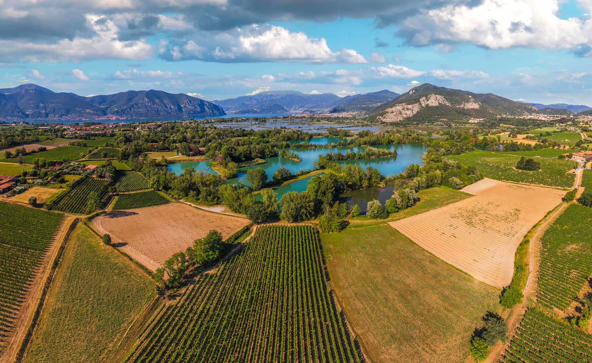
An activity that is particularly dependent on the climate, agriculture is now experiencing many of the effects of climate change, which are affecting both yields and the quality of harvests. Farmers and farm managers have no choice but to adapt and transform their practices, which requires new tools capable of providing them with ad hoc indicators to guide their choices and their implementation.
Satellite data can play a major role in this, as demonstrated by the four projects that presented their solutions on Thursday 22 June 2023 at the 9th SCO France Quarterly meeting, which you can watch again in the videos below.
If you have any questions about this quarterly, write to us here.
1 CHOVE-CHUVA
By Damien Arvor, University of Rennes
The Mato Grosso state in the Brazilian Amazon is facing major socio-environmental changes. Faced with a lack of synthetic indicators to support the transformation of the region, the CHOVE-CHUVA project is developing a tool that can be accessed by as many people as possible, using information derived from remote sensing. The project's leader, Damien Arvor, is giving an online demonstration of the platform currently under development, gradually correlating the Mato Grosso context with its challenges and issues.
To remember
- The demonstrator is already online and available to all: www.sco.chove-chuva.org
- The tool produces a wide range of maps and indicators on 4 major themes: land, climate, agricultural practices and forest resources (deforestation, degradation, fires), hydrosystems (rivers and springs).
- As part of a collaborative approach, the project consortium includes non-academic partners to exchange information on spatial data and the environment. It is also inviting them to collect information from the general public.
- Generic and based on open source modules, the tool is easily transposable.
2 Eo4MountainPastoralism
By Jean-Philippe Malet, University of Strasbourg
The aim of Eo4MountainPastoralism is to develop a toolbox for calculating, on request and then systematically, a certain number of variables and indicators for assessing the bio-hydro-ecological state of an area, particularly in mountainous regions. As Jean-Philippe Malet explains, the project began by interviewing future users, who know their area well, to define their needs and respond as closely as possible.
To remember
- The project aims to achieve high spatial resolution (optical and radar), making it possible to create dashboards showing changes in biophysical indicators.
- The system is designed to be integrated into existing national and international information systems.
- With a modular, tailor-made approach approach, the team is putting a great deal of effort into the calculation chains to minimize the carbon footprint. With this in mind, products are not stored but recalculated on demand.
- Leading indicators provide zonal statistics on trends and probabilities of change.
3 Space4IRRIG
By Virginie Dahinger, MEOSS
In 2022, 93 French departments were subject to drought decrees, with a direct impact on agriculture. To anticipate and limit these pressures on water resources, Space4IRRIG is developing a tool to monitor irrigation, mainly of field crops, total irrigated areas and crop rotations, and to anticipate water requirements. Virginie Dahinger takes us behind the scenes of this project, which completes the range of services previously developed as part of the SCO MEO-Climate project.
To remember
- The project is being developed as closely as possible to needs, thanks to 12 entities volunteering to be user-testers.
- The model is fed by Sentinel-1 (radar) and Sentinel-2 (optical) satellite data. These last ones are retrieved from the Theia platform for their high-performance pre-processing.
- The MEO-Irrigation tool provides 3 types of results, displayed in the form of maps for easy understanding and use: irrigated/non-irrigated plots, crop types and associated probabilities. The platform is easy to use and offers a wealth of other information.
- Space4IRRIG will soon be on the market, particularly for the public sector, and will open up other avenues for MEOSS to develop this water management service, particularly as part of the France 2030 Plan.
4 SCOLive
By Florence Lacrosse, ACRI ST
Within the Grasse region, SCOLive is developing an olive tree observatory to provide a better understanding of the growth, development and disease conditions of this age-old tree. In doing so, the observatory sees the olive tree as a bioindicator of climate change, for example by analysing flowering dates and volumes. Florence Lacrosse presents the challenges of this project, which uses a mobile application to enable all citizens to participate.
To remember
- SCOLive, a participatory science project, is at the crossroads of scientific (climate monitoring) and political (agro-ecological transition) concerns, as well as heritage preservation (halting the loss of knowledge of this ancestral culture).
- The SCOLive application runs on a smartphone to make it easier to collect data in the field (which is automatically geolocated and time-stamped), and is available on the stores.
- SCOLive can be used to monitor phenology, which is a marker of climate change, and health.
- Already used by olive growers in the Grasse region, SCOLive aims to extend its coverage to all olive-growing countries in the Mediterranean.
- Dedicated website: https://www.scolive.eu