

SCOFrance
11accredited projects in 2024
Urban adaptation
Atmosphere
Water management
Mountain
Vulnerability and adaptation to natural disasters
Next call for projects3rd quarter 2024
Useful linksSCO International 2024 Edition
SCO France Edition 2025, 2023, 2022, 2021, 2020
Key words2024 Edition, France projects, SCO label
SCO France: 2024 Edition
🛰 Overall, the French projects of the 2024 Edition plan to use mostly satellite data from the Copernicus Sentinel (optical, radar, altimetry, atmosphere), Pléiades and Spot (very high-resolution optical) families, as well as Landsat (optical), GPM (rain) and MODIS (multispectral). Most of these data are freely accessible.
💧🌊 Available from this year, SWOT data are particularly eagerly awaited: with a resolution 10 times better than other altimetry satellites, SWOT will cover 90% of the planet's freshwater stocks every 21 days, as well as observing fine ocean structures.
Stay tuned: this article will be updated regularly to include the links towards projects’ presentations.
URBAN ADAPTATION: 2 projects
- ORENOS, Orientation of night lighting renovation by satellite observation
Supported by CEREMA
The ORENOS project focuses on the management of public lighting in the Greater Annecy conurbation (Haute-Savoie, France).
Using satellite imagery, ORENOS (Orientation de la Rénovation de l'Eclairage Nocturne par Observation Satellitaire) aims to develop an indicator of the quality of artificial night-time lighting and an indicator of the pressure of lighting on biodiversity, to produce maps correlated with land-use data. The ground albedo values (reflected light rate) will enable local managers and decision-makers to prioritize their actions to adapt, renovate or extinguish lighting, with the aim of proposing adapted lighting that has less impact on biodiversity.
Supported by NetCarbon
The Target 2050 project proposes to develop a unique rating system capable of taking into account the impact of an urban development project on carbon storage, artificialization and temperature rise, as well as its implementation on the national territory. The Target 2050 tool is part of the strategy to combat climate change by 2050 and aims to propose optimized development scenarios.
The project is based on the UHI urban heat island indicator developed as part of the SCO Sat4BDNB project, and supplements its methodology with other satellite data, notably vegetation cover and carbon capture.
ATMOSPHERE: 1 project
- FLORIA, FLexible algORIthm for the monitoring and forecasting of Air pollution based on artificial intelligence and satellite observations
Supported by Thales Services Numériques (Digital Transformation Services)
Better detection and characterization of pollution events linked to natural disasters and human activities is becoming a major challenge for the health of populations and for understanding the future climate. Against this backdrop, the FLORIA project proposes an innovative statistical approach based on artificial intelligence coupled with satellite data, which will provide guidance to research laboratories and institutional players responsible for air quality monitoring.
The FLORIA solution will provide near-real-time mapping of particle concentrations (PM10, PM2.5) and gaseous pollutants (SO2), as well as pollutant transport forecasts based on meteorological forecasts and an atmospheric dispersion model. This service is intended to be a complementary tool, with similar performance, to existing European and national modeling platforms, at a much lower numerical cost.
- CASCADES, Automatic Processing Chains for the Monitoring and CAracterization of Continental Surface Waters from Satellite Images
Supported by IRD (French Development Research Institute)
In regions of the world regularly affected by hydrometeorological extremes, exacerbated by climate change and human pressures, access to water resources is vital to safeguarding human societies and ecosystems.
The CASCADES (Chaînes de traitement Automatiques pour le Suivi et la CAractérisation Des Eaux de surface continentales à partir d'images Satellitaires) project proposes to set up automated satellite data processing chains on large, contrasting study sites representative of water-related issues around the world. CASCADES aims to explore synergies with the SCO Mangroves and CIMOPOLEE tools to develop the first tool capable of providing recurring surface water products for developing countries.
Supported by CIRAD
In southern Africa, the interfaces between protected areas and rural land are subject to interactions and conflicts of use between wildlife, people and their livestock. In a context of increasing anthropization and climate change, access to water resources, mainly derived from rainfall, is a major issue that raises concerns about biodiversity conservation, local development and livelihoods.
The aim of the EARTH-WISE project is to provide research partners and local stakeholders with an operational service platform, positioned within existing tools, for environmental monitoring of water surfaces and simulation of the impact of climate change. Based on satellite, meteorological and in situ data, the project will be co-constructed with users to deliver online maps of actual and predicted water surfaces under different scenarios of climate change, land use change and practices.
- OpHySE-MoCha, Operational Hydrology from Space and modEls in the MOzambique CHAnnel
Supported by Hydro Matters / LEGOS
The OpHySE-MOCHA project aims to build a platform for forecasting extreme hydro-climatic events in the watersheds of the East African coast bordering the Mozambique Channel, to help local stakeholders refine their decision-making.
Building on the operational implementation of the SCO OphYSE project on French Guiana's rivers, the MOCHA component has inherited robust feedback to deploy its monitoring and warning method using space altimetry. Based on a hydrological model fed in real time with satellite precipitation and water level data, the project will be able to improve its modelling and analysis of hydrological and hydrodynamic processes by integrating satellite observations from the Franco-American SWOT mission.
- VOQUALISE, VOlume and water QUALIty in SEnegal
Supported by GET, Geosciences Environment Toulouse
VOQUALISE aims to support water resource management in West Africa, particularly in the Kayanga-Anambé basin in Senegal. The project proposes to build a platform accessible to the general public, capable of providing estimates of the water balance of three major reservoirs, assessing water quality parameters and characterizing uses. Using satellite and in-situ data, the tool aims to establish the current situation and study future development scenarios in the context of climate change.
Aimed at those involved in water resource management and planning, VOQUALISE will provide information to guide public policies, particularly in agriculture, to cope with demographic change and limit anthropogenic pressures on ecosystems.
MOUNTAIN: 1 project
- PERILS, operational tools to quantify the impact of global warming on natural hazards in the mountains
Supported by SAGE, Société Alpine de GEotechnique Ingénierie (Alpine GEotechnique Engineering Company)
The effects of climate change, and in particular the melting of permafrost, are having an impact on high mountain environments. The PERILS (outils oPErationnels pour quantifier l'impact du réchauffement climatique sur les RIsques natureLS en montagne) project proposes to develop a demonstrator adapted to earth movements at high altitudes (> 2000 m).
Based on a pre-existing tool (OTELO), the new toolbox will visualize deformations observed and measured from satellite data, validated by in-situ observations, and associated meteorological parameters (temperature, precipitation, snow depth). The PERILS project is designed to identify and prevent landslides that could impact public or private facilities (ski areas, buildings, networks). Local players in high mountain infrastructures will thus be able to better understand changes in their territories and their socio-economic repercussions.
VULNERABILITY AND ADAPTATION TO NATURAL DISASTERS: 3 projects
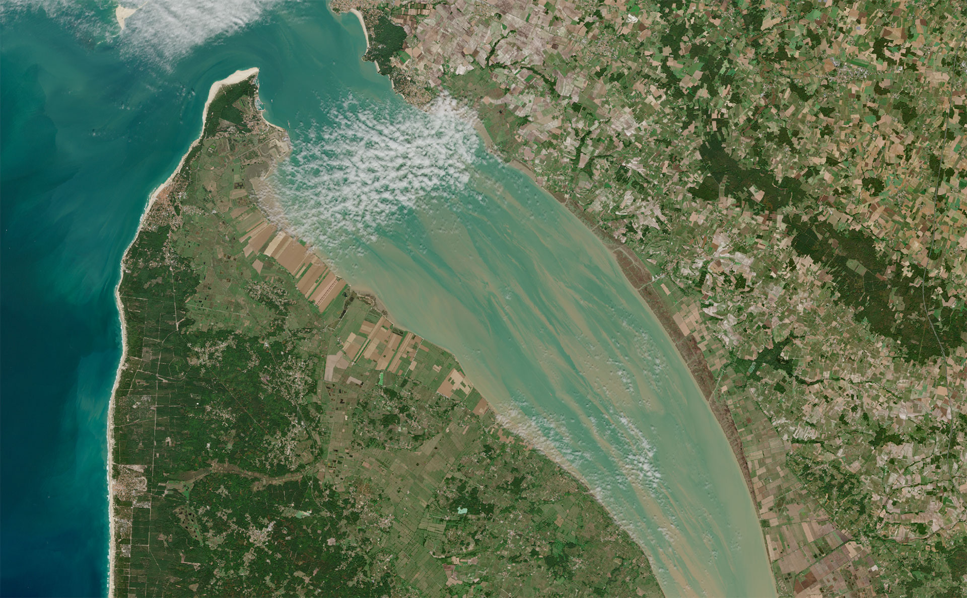
- ALISE, Vulnerability analysis of the Senegalese coastal zone
Supported by University of Rouen Normandie
In West Africa, where around a third of the population lives on the coast, the challenges faced by major cities have a significant impact on both personal safety and regional economic activity.
The ALISE (Analyse de la vulnérabilité du LIttoral SEnégalais) project aims to build a multi-hazard vulnerability index for the Senegalese and Gambian coastline, based on satellite data. Building on the experience of the OSS Saint Louis project, ALISE proposes to develop a platform capable of determining coastline dynamics from the 1970s to the present day. The correlation of satellite data with in-situ hydrodynamic measurements (tide gauges) in particular, will enable the production of a robust coastal risk management tool. It will be co-constructed with local players to facilitate their appropriation.
- ATTEST, Contribution of Terrestrial Remote Sensing to Evaluate Solutions for Territorial Resilience
Supported by SGEVT
Rural and peri-urban areas are currently poorly equipped in terms of skills and resources to deal with extreme climatic hazards. Intense runoff phenomena and long dry spells, which have been identified as increasing in these areas, tend to increase their vulnerability.
The ATTEST (Apport de la Télédétection Terrestre pour Evaluer les Solutions pour la résilience des Territoires) project uses existing technical building blocks and operational services such as FORO (SCO FLAude project) to help public decision-makers assess damage and prioritize preventive adaptation measures. The use of satellite data and past and future climate data will enable the construction of an iterative loop for demonstrating and verifying the effectiveness of development scenarios. The tool lays the foundations for a digital twin specialized in mitigating the effects of intense climatic events on the Mediterranean arc and is intended to be compatible with an approach on the scale of the whole of France, and even Europe.
Supported by CNES / NASA / NOAA
In order to process, combine and connect all the information needed to understand the coastal environment and its future projections in the context of climate change, the SCOast-DT project proposes to develop an innovative framework: coastal Digital Twins. The creation of digital twins in different areas (New Caledonia, Benin, USA) using a variety of satellite, in-situ and economic data sets, has enabled the construction of a large-scale dynamic tool capable of simulating climate change scenarios for several extreme phenomena (coastal flooding, coastal erosion, etc.).
Taking into account the evolution of coastal ecosystems thanks to various maps and quality indicators, the tool will enable us to project the risks associated with events and define potential means of mitigation and protection.